 Hiking
 Login
Login
 More
More
 EN
EN
 Premium
Camino de Santiago Hugardis
automatic translation
9.4 km • Hoegaarden
1.7611 3 2.8/5
route offered by
Toerisme Hoegaarden
 Addresse starting point (approximate)
houtmarkt 1, 3320 Hoegaarden
 signage
The route is not signposted. Use a GPS device or our app to follow the route.
 Description
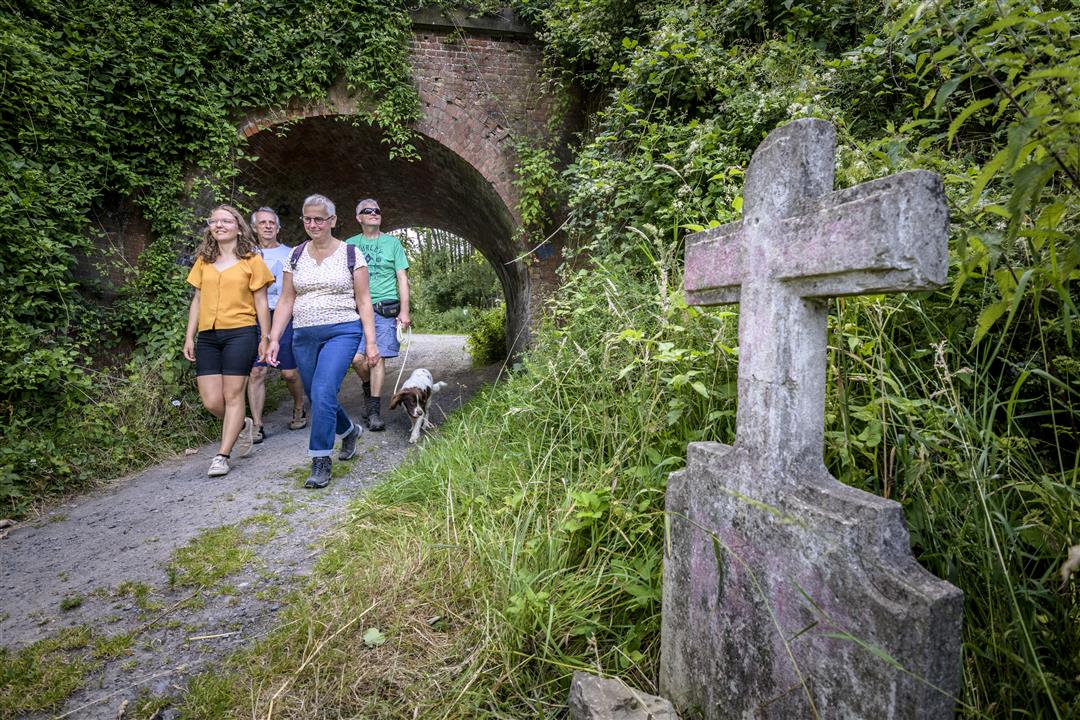
Beautiful walk through the churches and chapels of Hoegaarden, Outgaarden and Rommersom. A mini copostella route in our beautiful Hoegaarden.
automatic translation
Monday, December 6, 2021 by Ronnu SchmitzThe mystery seems solved.... this hike has seamlessly (and silently) transitioned to the 15 km hike "Camino de Santiago Maillard", also Hoegaarden.... So apparently it's good to pay attention if you want to do the 9 km....
automatic translation
Friday, December 3, 2021 by Ronnu SchmitzFinally, this hike was walked off ... https://www.strava.com/activities/6334834173 ... after 9 km we were at the church of ... Meldert ... we had to do 5 more kilometers to get back to Hoegaarden. Nevertheless, this was a beautiful hike with a lot of unpaved roads, so it was sometimes necessary to pay attention. Highly recommended, but for 14 km !
automatic translation
Friday, December 3, 2021 by Ronnu SchmitzWe did this hike on 2/12 with the gps of Wandelknooppunten.be, so in principle there could not go much wrong... Once we got the message that we had deviated from the trail, but that was because we missed a small alley in the beginning, probably because of the works there... Other than that we got no notification, but eventually did 14 km...
automatic translation


 Upgrade to Premium Plus
