
 Hiking
 Login
Login
 More
More
 EN
EN
 Premium
Rosdelwandeling - Red
11.5 km • Hoegaarden
 official route
3.75513 5 3.5/5
route offered by

 Addresse starting point (approximate)
Park van Hoegaarden, Houtmarkt 1, 3320 Hoegaarden
 signage
The route is signposted with thematic signs (no nodes). You can use a GPS device or our app to follow the route through the virtual nodes.
 Description
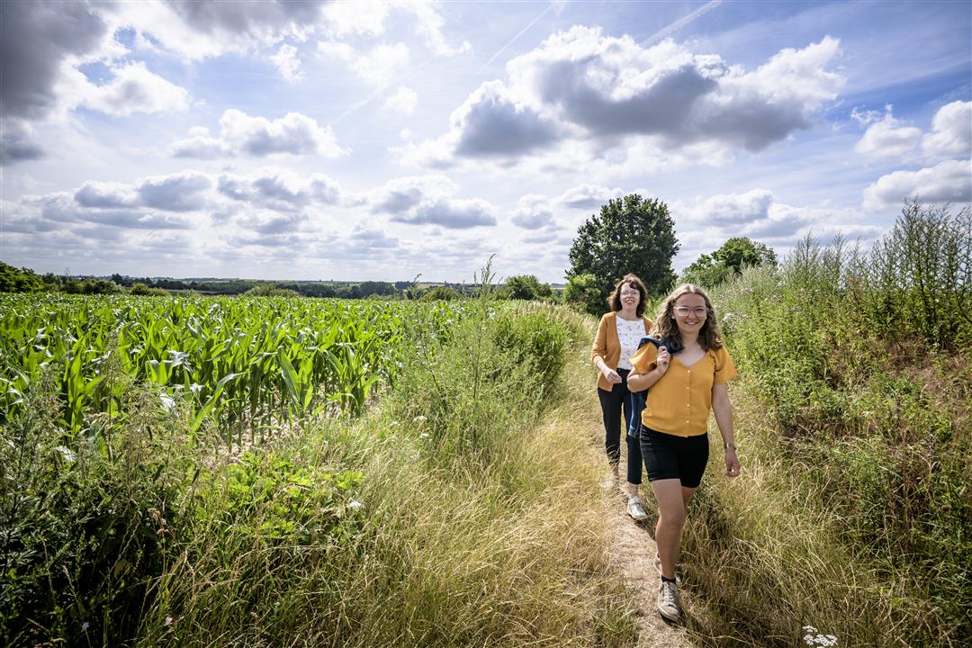
"Rosdel," managed by Natuurpunt, is a beautiful stretch of Hoegaarden’s natural landscape near the language border, where vast fields alternate with the deeply carved green valleys of the Schoorbeek and the Nermbeek. And then there are the beautiful sunken roads where you’ll find coolness in the summer and shelter in the winter. The abundance of wild orchids that bloom in June on Rosdel’s dry, calcareous grasslands is unique in Flanders.
Before you set out: This is a walk on a virtual hiking network. The junctions are not marked on the ground. Follow the geometric symbol—a red triangle.
This walk is presented by Tourism Flemish Brabant and Natuurpunt Mene-Velpe. More info: www.natuurpunt.be/natuurgebieden/rosdel
automatic translation
 nodes to follow
0 km
1.1 km
1.9 km
2.7 km
3.7 km
4.7 km
6.2 km
7.6 km
7.7 km
7.8 km
8.3 km
8.9 km
9.1 km
11.4 km
11.4 km
11.5 km
Sunday, August 2, 2026 by M.V.A beautiful hike. The landscape is constantly changing. Idyllic at times. It’s a hike worth doing in every season. Hardly any paved sections (I don’t count concrete walking paths or cobblestone stretches as “paved”). Good signage, though it’s best to keep your GPS handy, as the signs have disappeared in one or two spots (vandalism?).
automatic translation
Sunday, October 12, 2025 by Koenrrad DesmedtBlessed walk among wide landscapes, with no cross roads or houses for 90% of the loop, it's like a silence area, but with beautiful views of the hills. No app needed, the red triangles with arrow above them are perfect to follow, no post was missing.
automatic translation
Monday, July 31, 2023 by Ruben WillemsNice hike, slightly rolling, very quiet. Still some concrete to walk on (but that's personal of course). We had the app of hiking nodes on our smartphone, it tells you how to hike and also when you are hiking wrong, 4G not needed.
automatic translation
Saturday, August 20, 2022 by P.B.Badly indicated! At junction 508, (with paper junction markings) crooked pole that is loose and makes one assume it is straight ahead, NOT so, walked miles wrong....
automatic translation
Tuesday, August 31, 2021 by C.P.Nice, quiet walk through the fields and fields of Hoegaarden; sometimes it seems like you're very far away from civilization. Some parts of the trail are apparently very popular with motocross riders, which does disturb the peace. Good footwear is recommended in wet weather!
automatic translation



 Upgrade to Premium Plus


