
 Hiking
 Login
Login
 More
More
 EN
EN
 Premium
Rosdelwandeling - Green
7 km • Hoegaarden
 official route
3.6186 3 4.2/5
route offered by

 Addresse starting point (approximate)
Park van Hoegaarden, Houtmarkt 1, 3320 Hoegaarden
 signage
The route is signposted with thematic signs (no nodes). You can use a GPS device or our app to follow the route through the virtual nodes.
 Description
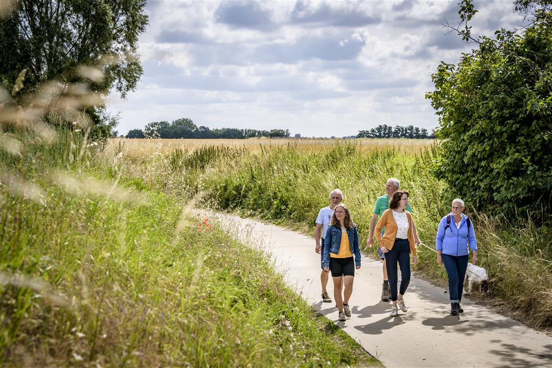
"Rosdel," managed by Natuurpunt, is a beautiful stretch of Hoegaarden’s natural landscape near the language border, where vast fields alternate with the deeply carved green valley of the Nermbeek. And then there are the beautiful sunken roads where you’ll find coolness in the summer and shelter in the winter. The abundance of wild orchids that bloom in June on Rosdel’s dry, calcareous grasslands is unique in Flanders.
Before you set out: This is a walk on a virtual hiking network. The junctions are not marked on the ground. Follow the geometric shape—the green rectangle.
This walk is presented by Tourism Flemish Brabant and Natuurpunt Mene-Velpe. More info: www.natuurpunt.be/natuurgebieden/rosdel
automatic translation
 nodes to follow
0 km
1.1 km
1.9 km
3.8 km
4.4 km
4.5 km
6.8 km
6.9 km
7 km
Saturday, September 12, 2026 by Anonieme GebruikerThe walk was really nice—I enjoyed the shade along the way and the nice little trails. The path was reasonably paved, but it's still great to be out in nature.
automatic translation
Saturday, January 10, 2026 by Els GhijselsA beautiful walk past meadows, fields, and even a small forest. You start (and end) in the center of peaceful Hoegaarden. Only a few paved roads there. Beautiful views along the way.
automatic translation
Saturday, February 12, 2022 by Marc MichielsBeautiful walk through meadowlands and hollow roads. Also beautiful views.
automatic translation



 Upgrade to Premium Plus


