 Hiking
 Login
Login More
More EN
EN Premium
Rosdel Walk - Green
automatic translation
6.9 km • Hoegaarden
 official route
1.1300 1 3.5/5
route offered by
 Addresse starting point (approximate)
Park van Hoegaarden, Houtmarkt 1, 3320 Hoegaarden
 signage
The route is signposted with thematic signs (no nodes). You can use a GPS device or our app to follow the route through the virtual nodes.
 Description
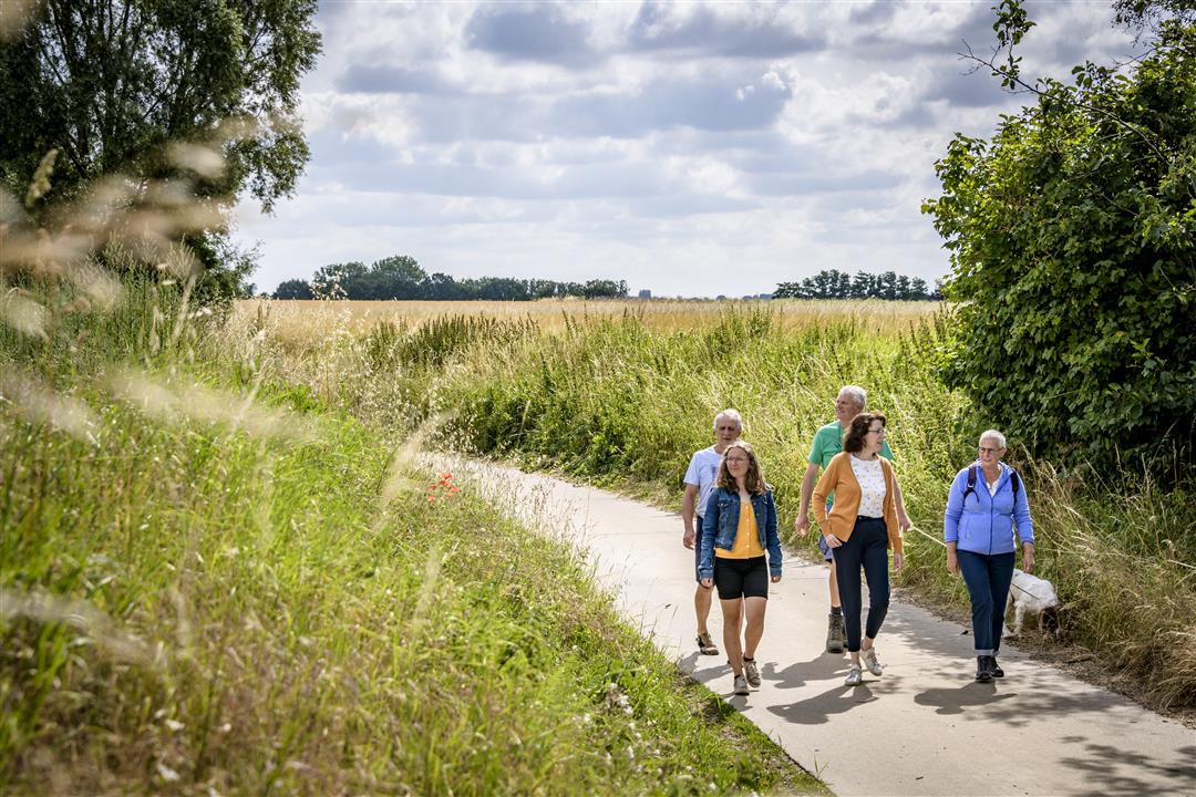
This nature walk takes you to the valley of the Schoorbeek and the Nermbeek. Beautiful hollow roads alternate with wide vistas and green valleys. One moment you step through grasslands full of wild orchids, the next you climb the green valley slope. As far as you can see or hear, nature reigns on the (linguistic) border between Hoegaarden and l'Ecluse-Beauvechain. Thanks to the efforts of Natuurpunt Velpe-Mene, the nature reserve Rosdel and the Schoorbroekvallei form a contiguous unit of nature in a vast arable landscape on the language border. The valley area can be wet in autumn and winter, make sure you have solid walking shoes or boots.
NOTE: This is a hike on a virtual hiking network. The nodes are not signposted on the property. Follow the geometric figure, the green diamond.
This hike is offered by Tourism Flemish Brabant and Natuurpunt Mene-Velpe. More info: www.natuurpunt.be/natuurgebied/rosdel.
automatic translation
 nodes to follow
0 km
1.1 km
1.9 km
3.8 km
4.4 km
4.5 km
6.8 km
6.9 km
7 km


 Upgrade to Premium Plus
