 Hiking
 Login
Login
 More
More
 EN
EN
 Premium
Photo search Meise
automatic translation
9 km • Meise
 official route
2.6951 2 4/5
route offered by
 Addresse starting point (approximate)
August van Doorslaerlaan 25, 1860 Meise
 signage
The route is fully signposted with nodes.
 Description
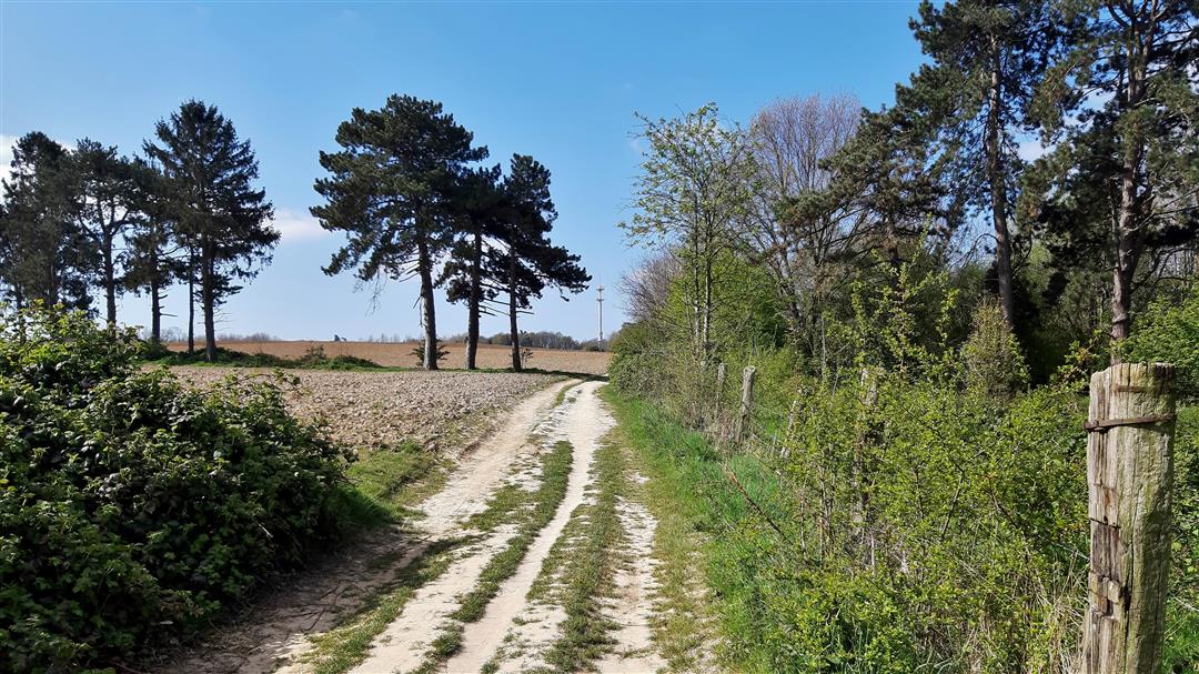
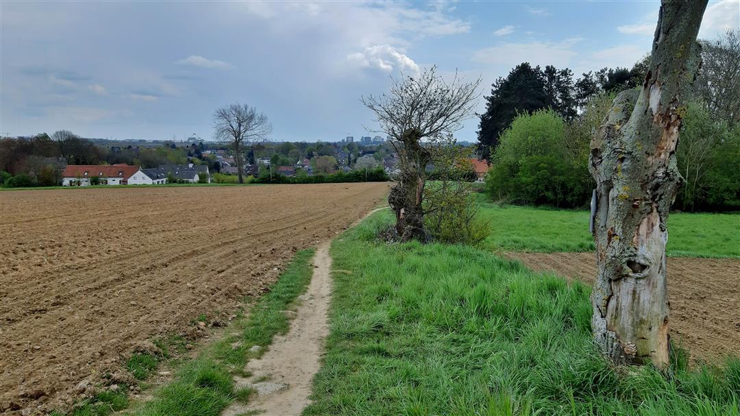
Enjoy a beautiful 9 km hike in and around the picturesque hamlet of Oppem (Meise). This hike takes you into nature, along vast fields and rolling footpaths. Discover the history behind the historical buildings that cross your path or combine the walk with a visit to the National Botanic Garden of Meise. Enjoy this beautiful piece of nature. To take part in the quest for free (and have a chance to win a nice prize) surf to https://fotozoektochtmeise.wixsite.com/2021.
This quest is organized by Luc Larivière and Patrick van Rumste. Two enthusiastic users of wandelknooppunt.be who, among other things, assist us in compiling our OP STAP walking maps and regularly contribute to wandelknooppunt.be.
automatic translation
 nodes to follow
0 km
1.2 km
2.7 km
3.4 km
3.7 km
5.4 km
5.5 km
7.4 km
7.4 km
7.9 km
8.2 km
9 km
Thursday, June 23, 2022 by Yasmin VdCNot a pleasant walk for owner and animal. Very many street walks along very busy, chaotic roads. Once we got to the meadow part, we could not really like it. For city hikers and/or people with children maybe pleasant? However, the nature and/or silence seeker may be better suited.
automatic translation
Tuesday, December 26, 2023 by J.D.I think your review refers to a different walk,this is certainly not crowded or chaotic.It was a photo quest,so suitable for everyone
automatic translation
Monday, August 2, 2021 by tim dingemansVery nice hike with a nice quest. However, it is recommended (during a period of rain) to put on good walking shoes, as it can be a bit soggy in the field.
automatic translation


 Upgrade to Premium Plus
