
 Hiking
 Login
Login
 More
More
 EN
EN
 Premium
Groenendaalwandeling
6.6 km • Hoeilaart
 official route
6.56117 3 5/5
route offered by

 Addresse starting point (approximate)
Bosmuseum Jan van Ruusbroec, Duboislaan 2, 1560 Hoeilaart
 signage
The route is signposted with thematic signs (no nodes). You can use a GPS device or our app to follow the route through the virtual nodes.
 Description
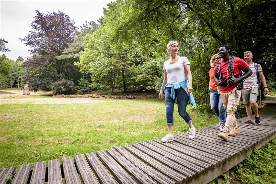
Leave the hustle and bustle of the Brussels Ring Road behind and immerse yourself in the greenery of the Sonian Forest. Groenendaal is located roughly in the center of the Sonian Forest. About six centuries ago, Augustinian monks founded their priory here. You’ll walk through the Groenendaal Arboretum, home to some 400 native and non-native tree species, and you’ll also pass the beautiful Joseph Zwaenepoel Forest Reserve—a UNESCO World Heritage Site! – and the Royal Lodge of the former Groenendaal horse racing track.
Before you set out: This is a walk on a virtual walking network. The junctions are not marked on the ground. Follow the wooden posts with orange arrows.
automatic translation
 nodes to follow
0 km
1.5 km
2 km
2.7 km
3.3 km
4.6 km
5.4 km
5.8 km
6.6 km
Sunday, September 7, 2025 by Inga JelkA very nice route- in the forest and in the meadows, almost no high elevated places, a royal lodge. One difficulty from the parking to find the starting node.
Thursday, July 18, 2024 by B.T.Top hike - follow them completely and don't be tempted by cutting them off (at node 821)
automatic translation
Monday, August 1, 2022 by Yves VlasselaerBeautiful hike, large free parking lot at the castle. The route is fully signposted by the orange plates with black arrows. Start along the castle pond and then you automatically come to the first arrows. Well maintained paths, following a winding forest river for the first few kilometers. Many info signs along the way, route is 5.1 km long.
automatic translation



 Upgrade to Premium Plus


