 Hiking
 Login
Login
 More
More
 EN
EN
 Premium
Windmill Walk
automatic translation
9.2 km • Roosdaal
2.6423 4 4.1/5
route offered by
Toerisme Lennik
 Addresse starting point (approximate)
Hunselberg 6, 1760 Roosdaal
 signage
The route is fully signposted with nodes.
 Description
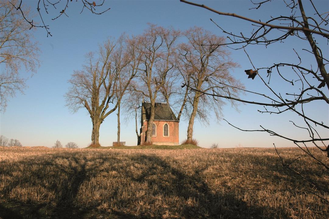
Walk past the Zeppos Mill with its rich history, the last mill in the Pajottenland that is still millable. Enjoy a wide vista of the Ledeberg, the Dender Valley and rolling fields and meadows. The duration of this trail is 2 hours 10 minutes.
automatic translation
 nodes to follow
0 km
0.3 km
0.6 km
0.9 km
1.1 km
1.8 km
2.5 km
2.6 km
3 km
3.1 km
3.9 km
4.4 km
5.3 km
6.1 km
6.4 km
7.8 km
8.3 km
8.6 km
8.9 km
9.2 km
9.2 km
Tuesday, June 23, 2026 by Nadine De Winnepleasant walk
automatic translation
Sunday, August 21, 2022 by Yasmin VdCNo, we are not a fan. Very crowded along the way (Riders, cyclists, Vespa groups, motorcyclists, cars, etc) so you have to have eyes on your back almost constantly. Also lots of loudly protesting dogs along the way. At the end the road is blocked by fallen trees and few flexible people cannot pass. Much better alternatives in the region!
automatic translation
Thursday, July 8, 2021 by Corten Andréideal hike if it had been raining a lot the past few weeks, rolling landscape always at a pleasant altitude with lots of views. New filming of Captain Zeppos had started at the windmill and at the end of the hike it was blissful to relax at the village café near the church of Our Lady Lombeek. July 7, 2021
automatic translation
Tuesday, June 22, 2021 by Karin van de VenLast Sunday took this beautiful vista walk over rolling countryside. Quiet walk, hardly any traffic, over farm roads, good walking shoes is recommended. At junction 232 you have to walk about 100 meters to come across the next post with number 24.
automatic translation


 Upgrade to Premium Plus
