 Hiking
 Login
Login
 More
More
 EN
EN
 Premium
Silence in Tessenderlo
automatic translation
33.1 km • Tessenderlo
2.3786 1 3.5/5
route offered by
Toerisme Provincie Antwerpen
 Addresse starting point (approximate)
Zavelberg 10, 3980 Tessenderlo
 signage
The route is fully signposted with nodes.
 Description
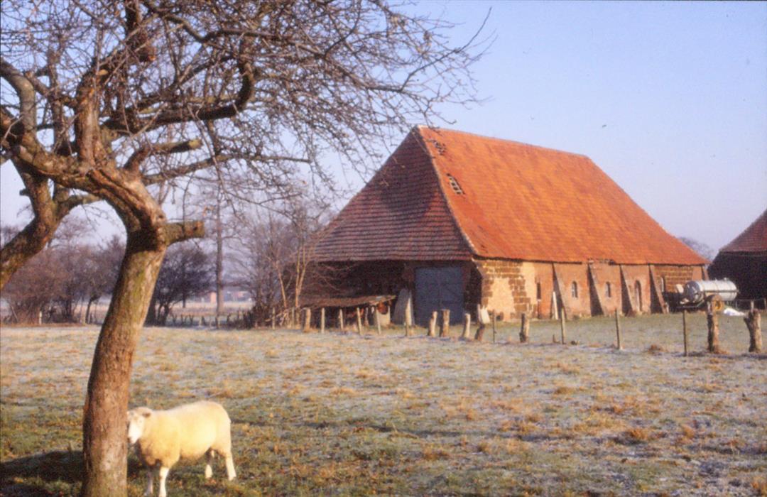
Along this hike you will notice that the Limburg part of the Merode area also belonged to the original sphere of influence of the Premonstratensians of Averbode. Through the EXPANDED BOSSEN of Gerhagen and along the VIRGOABLE LAND you also pass an old mill and the large norbertine village of Tessenderlo.
automatic translation
 nodes to follow
0 km
0.3 km
0.5 km
0.8 km
0.9 km
1.6 km
2.3 km
2.9 km
3.1 km
4.7 km
7.1 km
9.5 km
11.8 km
14.2 km
16.6 km
19 km
21.4 km
23.8 km
26.2 km
26.3 km
27.2 km
28.4 km
30.7 km
31.1 km
31.6 km
31.7 km
32.5 km
33.1 km
Sunday, June 13, 2021 by P.H.Nice walk mainly along fields, fields and meadows. Pretty much on paved roads, but these were pretty quiet on Saturday. Along the way you can visit the Forest Museum for free with all kinds of stuffed animals. My tip: definitely get an ice cream at Riksken Tip. Super tasty! Many other restaurants in the same area.
automatic translation


 Upgrade to Premium Plus
