 Hiking
 Login
Login
 More
More
 EN
EN
 Premium
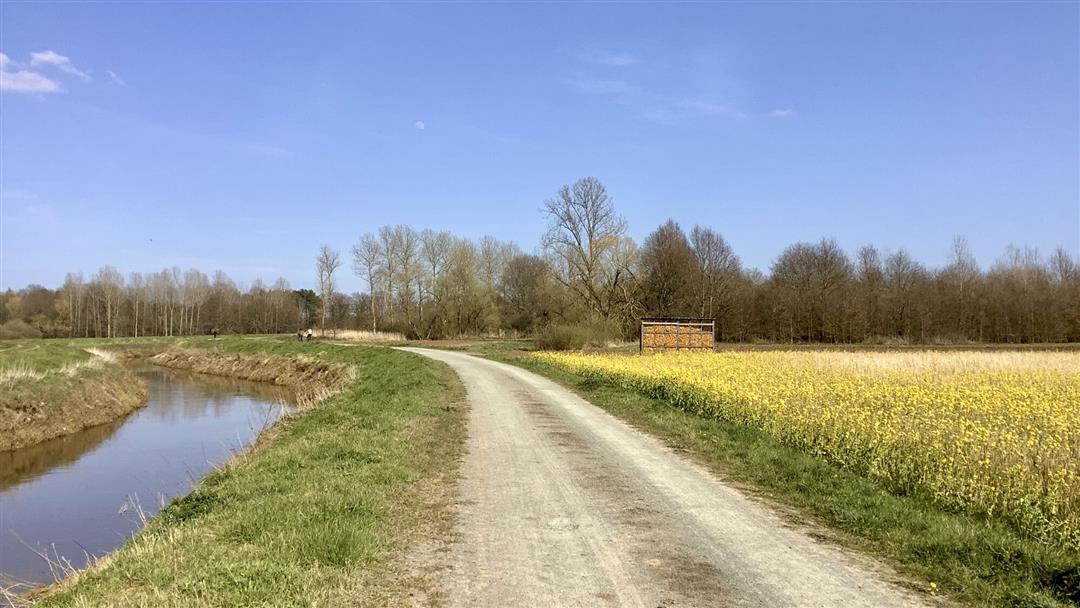
Demerbroeken walk
automatic translation
10.4 km • Scherpenheuvel-Zichem
2.8455 4 3.9/5
route offered by
Toerisme Provincie Antwerpen
 Addresse starting point (approximate)
Dorp, 3272 Testelt Scherpenheuvel-Zichem
 signage
The route is fully signposted with thematic signs (no nodes).
 Description
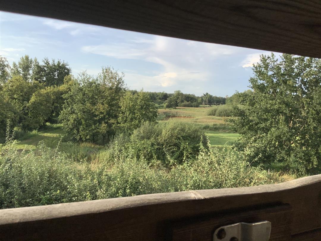
The Demerbroeken form a vast chunk of nature in the wide valley of the Demer, between Testelt, Zichem, Averbode and Diest. You cross a pristine flood plain there. The Agency for Nature and Forests is working with Natuurpunt to develop a vast nature reserve with reed thickets alternating with species-rich hay meadows and native deciduous forest. On the Voortberg you can enjoy a magnificent panorama.
Follow the junctions of the Wandelnetwerk de Merode or the signposts with the red triangle.
automatic translation
Sunday, May 3, 2026 by P.P.A truly beautiful walk. Work has now begun to restore the Demer River to its original course (reconnecting it with its meanders), which will make the entire area even more attractive. These works are also necessary due to climate change, to prevent a repeat of what happened in 2021 (as mentioned in the first review).
automatic translation
Monday, August 15, 2022 by R.R.beautiful landscape with beautiful vegetation !
automatic translation
Monday, January 24, 2022 by herman verheirstraetenVery nice hike through nature, the village of Testelt and the outskirts of Zichem, but most of all the absolute silence in the beautiful nature along the Demer river and the incredibly beautiful views. Bit swampy at times, but bottinnekes can easily overcome it. No need for boots and it had rained a bit the last few days.
automatic translation
Sunday, September 19, 2021 by M.M.Terrible hike. We did this one in August shortly after the floods. As a result, there was an enormous stench. We constantly felt like we were walking in a cow roll. Might be a nice hike in the winter. I would never recommend them in the summer.
automatic translation


 Upgrade to Premium Plus
