 Hiking
 Login
Login
 More
More
 EN
EN
 Premium
Steps between city and abbey
automatic translation
25.3 km • Diest
2.2323 1 3.5/5
route offered by
Toerisme Provincie Antwerpen
 Addresse starting point (approximate)
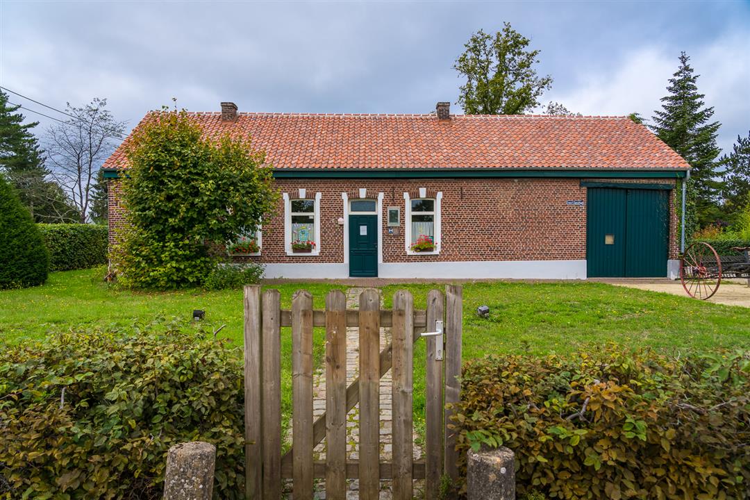
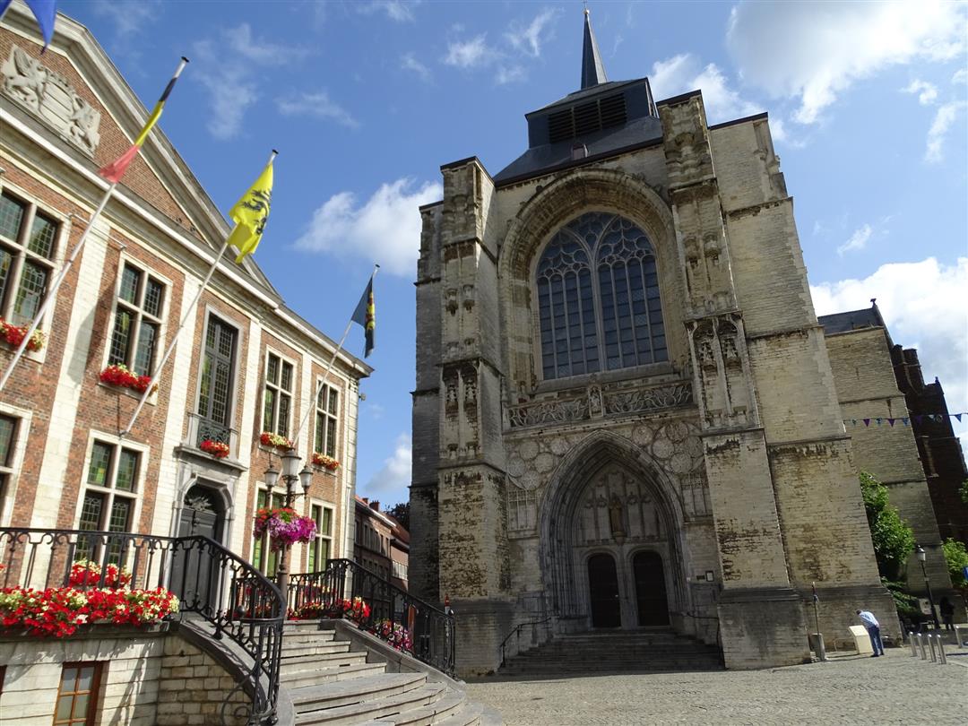
Grote Markt, 3290 Diest
 signage
The route is fully signposted with nodes.
 Description
Tie on your hiking boots for a brisk day of walking. Or opt for a two-day visit in the Merode area and combine the walk with a CULTURAL DISCOVERY, a delicious meal and an overnight stay. You can spend the night in the pleasant fortified town of Diest or in the peace and quiet of the GASTENKWARTIER of Averbode Abbey. This way you can fully experience the influence of the Premonstratensians on city and countryside.
automatic translation
 nodes to follow
0 km
1.3 km
1.7 km
1.9 km
3 km
3.8 km
4.6 km
5.5 km
7.5 km
8.8 km
9.6 km
10.6 km
10.9 km
11.1 km
11.3 km
11.5 km
12.1 km
12.2 km
12.5 km
13.5 km
15.2 km
17 km
17.6 km
18.7 km
19 km
19.6 km
20.7 km
21.1 km
22.2 km
22.5 km
22.9 km
23.3 km
23.8 km
24.3 km
25.4 km
Thursday, August 12, 2021 by I.S.Nice route. Still careful not to miss any numbers. In some places it is very wet. The trails that run through the area of Natuurpunt are irresponsible. This because cows, horses and bulls were always present on the paths we had to cross.
automatic translation


 Upgrade to Premium Plus
