 Hiking
 Login
Login
 More
More
 EN
EN
 Premium
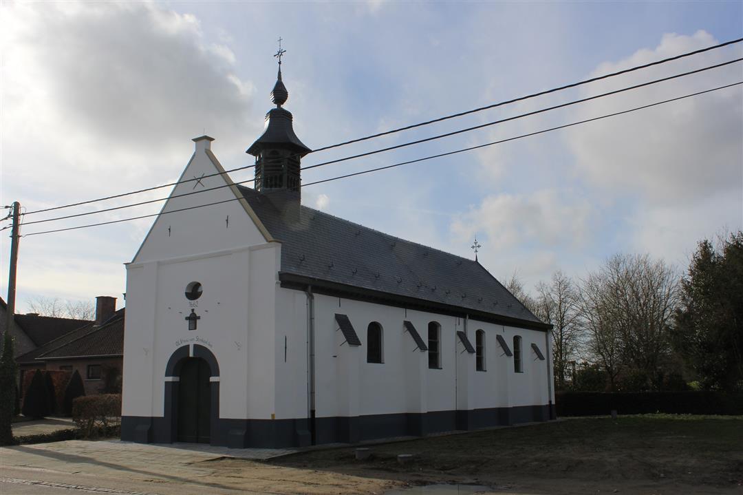
Walk to the Straw Chapel
automatic translation
7.9 km • Hulshout
3.5073 2 2.2/5
route offered by
Toerisme Provincie Antwerpen
 Addresse starting point (approximate)
Langestraat 14, 2235 Houtvenne
 signage
The route is fully signposted with nodes.
 Description
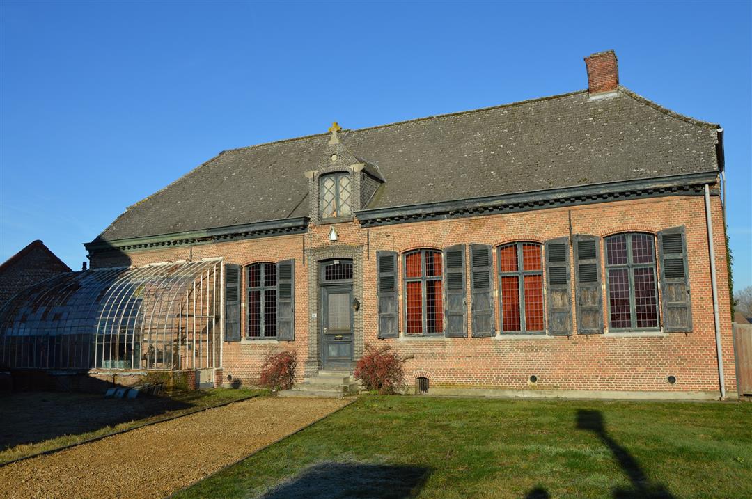
This route takes you through the fertile agricultural area between HOUTVENNE and RAMSEL. A rich harvest was once a reason to thank God for so much prosperity. In case of misfortune there was always a saint to whom one could turn in order to avert further disaster. Between the fields and the meadows in the Merode you will therefore always find a bead of BIG and SMALL CHAPELS.
automatic translation
 nodes to follow
0 km
1.2 km
1.9 km
2.8 km
3.9 km
4.4 km
5.2 km
6.1 km
7.6 km
8 km
Monday, January 2, 2023 by T.G.It is certainly true that there are much nicer hiking trails (vs. the 1-star review), but this one I was looking for specifically on "paved roads. It was a particularly wet period and we wanted to avoid mud. The rather large track is indeed the big downside (about 800m), but the rest is actually quite cool and ideal for wet weather and for families with children's carriages e.g..
automatic translation
Wednesday, September 1, 2021 by K.S.all on paved roads, along bike lanes/streets (busy even during the week) and even part busy lane. A km or 2 between green areas of garden farms, but still on paved road. Not a single trash can on the entire route to drop off your dog's poop bag. Only plus, the signage is good.
automatic translation


 Upgrade to Premium Plus
