 Hiking
 Login
Login
 More
More
 EN
EN
 Premium
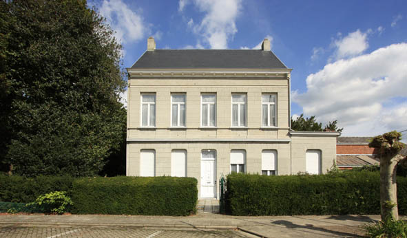
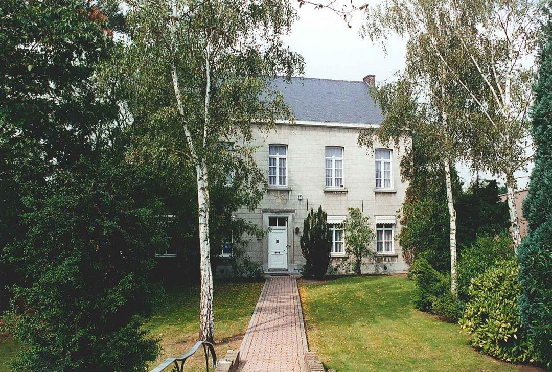
Past parsonages and chapels
automatic translation
11.9 km • Herselt
4.1444 2 4.5/5
route offered by
Toerisme Provincie Antwerpen
 Addresse starting point (approximate)
Blauberg, 2230 Herselt
 signage
The route is fully signposted with nodes.
 Description
If you are a peace and quiet seeker and like to enjoy LANDSCAPE VIEWS, then this walk is one tailored to you. You will walk through forests, along meadows, over hills and even past a vineyard. Don't forget to count the TALKY CAPELLETS along the way.
Hungry or thirsty during your hike? Then make a stop at one of the local entrepreneurs who carry a Meru label. They received this label because they connect with their product or service to landscape park de Merode and are the perfect ambassadors of this beautiful area!
automatic translation
 nodes to follow
0 km
0.4 km
0.8 km
1.5 km
2.4 km
3 km
3.7 km
3.9 km
5.1 km
5.5 km
5.8 km
6 km
6.4 km
7.5 km
8.1 km
8.8 km
9.6 km
10.4 km
10.8 km
11.6 km
12 km
Monday, October 31, 2022 by bert rouckhoutnice quiet walk along forest meadow field on the way you come across catering to drink something moie paths and good roads certainly worth 4 and half stars
automatic translation
Wednesday, July 27, 2022 by Roger SchoetersNice and quiet walk with lots of variety.Mostly very good paths. In wet periods, sturdy waterproof shoes are probably required.
automatic translation


 Upgrade to Premium Plus
