 Hiking
 Login
Login
 More
More
 EN
EN
 Premium
The heartbeat of Deer Mountain
automatic translation
11 km • Herselt
2.7723 1 2/5
route offered by
Toerisme Provincie Antwerpen
 Addresse starting point (approximate)
Diestesebaan, 2230 Herselt
 signage
The route is fully signposted with nodes.
 Description
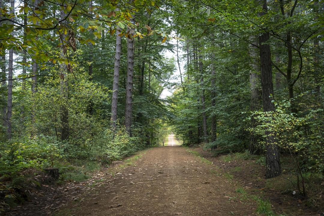
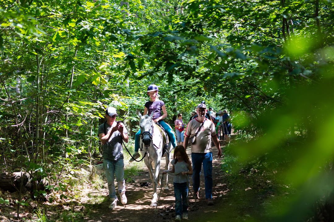
Children will not be bored during this hike. Meandering through the Merodeland you pass SPEELBOSSEN and fun picnic areas. In between you will pass horse farms. There are always some animals in the pasture to admire.
If you are hungry or thirsty during your hike, make a stop at one of the local entrepreneurs who carry a Meru label. They received this label because they connect with their product or service to landscape park the Merode and are the perfect ambassadors of this beautiful area!
automatic translation
 nodes to follow
0 km
1.1 km
1.4 km
2.3 km
4.4 km
5.3 km
6.3 km
7.8 km
8.4 km
8.8 km
8.8 km
9.2 km
9.4 km
9.7 km
9.9 km
10.1 km
10.4 km
10.5 km
10.8 km
Monday, December 13, 2021 by E.W.At the number 38 indicated as starting point there is no parking . we parked at mie maan and then started in the middle of the route. The start is beautiful through the forest and was promising. But a little further it goes briefly through the field then way too long on the track. The scenery there is beautiful but this hike was a bit disappointing.
automatic translation


 Upgrade to Premium Plus
