 Hiking
 Login
Login
 More
More
 EN
EN
 Premium
The drives of the abbot and the prince
automatic translation
10.9 km • Westerlo
6.2844 5 3.9/5
route offered by
Toerisme Provincie Antwerpen
 Addresse starting point (approximate)
Abdijstraat, 2260 Tongerlo
 signage
The route is fully signposted with nodes.
 Description
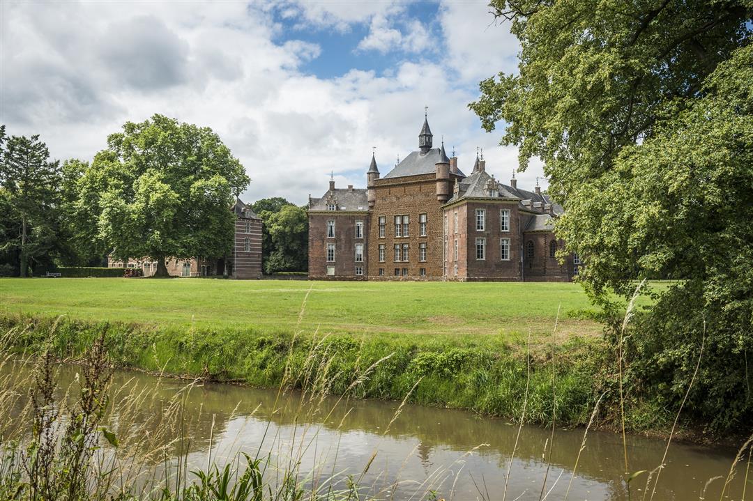
In the Merode, nature and culture go hand in hand. Fathers and princes loved a little greenery, so they laid out BIG BOSSES, LANDERIES and PARKS around their abbeys and castles. Today it is relaxing strolling through the straight forest lanes between Tongerlo and Westerlo. Only the meandering GREEN NETE draws a blue meander through that GREEN LAND.
automatic translation
 nodes to follow
0 km
0.6 km
0.9 km
1.2 km
1.2 km
1.5 km
2.5 km
3.1 km
3.4 km
3.9 km
4.4 km
4.5 km
4.8 km
6.6 km
6.6 km
7.3 km
7.3 km
7.5 km
7.8 km
8.3 km
9 km
9.3 km
9.5 km
9.6 km
11 km
11.1 km
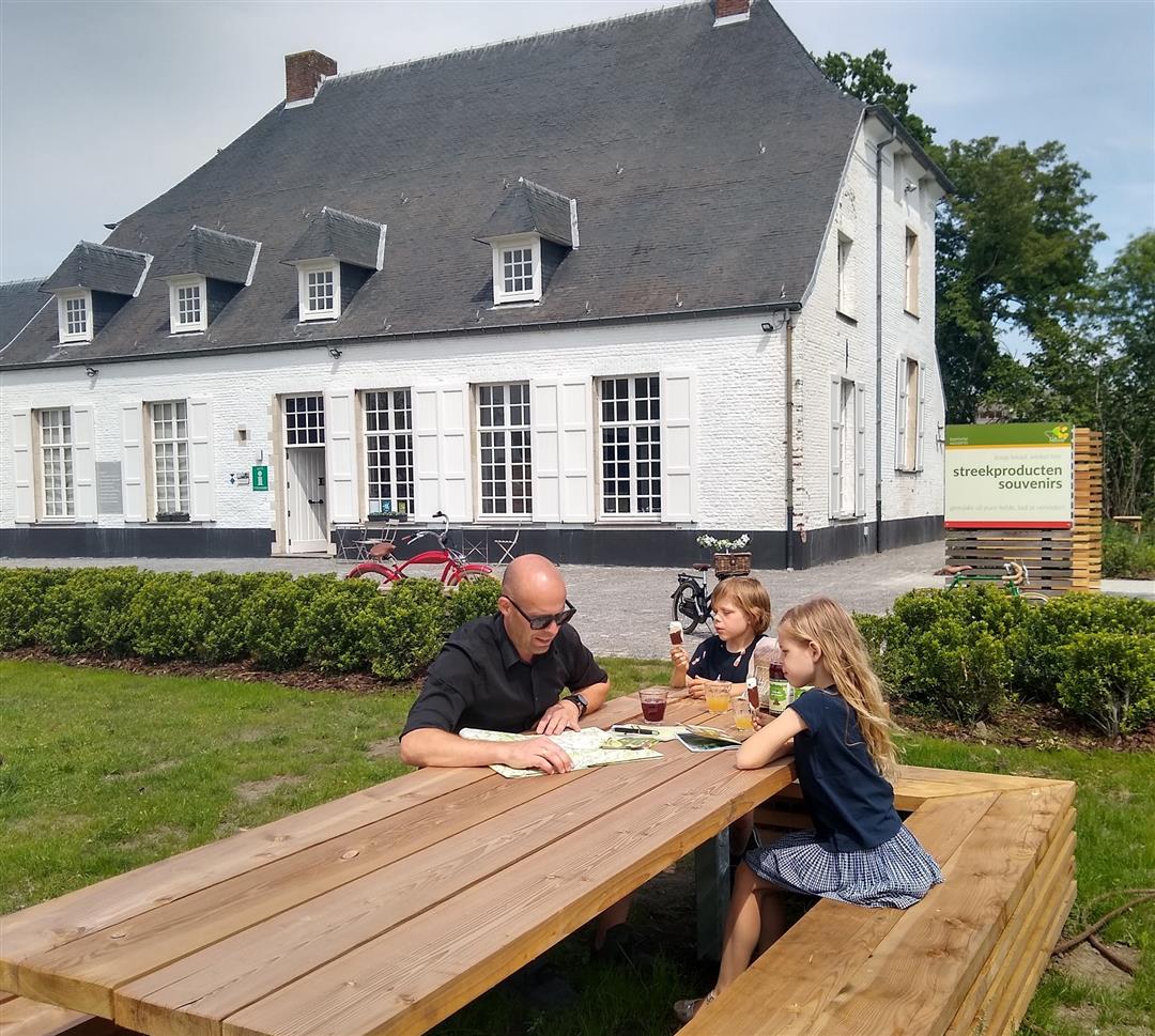
Sunday, February 8, 2026 by Elke Van KelstA beautiful, peaceful walk along tree-lined avenues, through woods, and along the Nete river. In Westerlo, you can grab a bite to eat or relax on a terrace.
automatic translation
Thursday, September 4, 2025 by Cis VoetThe splendor of "the pearl of the Kempen" speaks from this. A pleasant walk along a number of avenues. Afterwards a terrace in the center of Westerlo.
automatic translation
Saturday, July 6, 2024 by Dirk CalsynNice walk, forests and the Nete River are the basic ingredients. A stop in the village of Westerlo is included.
automatic translation
Saturday, January 1, 2022 by E.W.nice hike and not too strenuous.
automatic translation
Saturday, November 27, 2021 by bert rouckhoutzzer mooe quiet walk with the possibility to eat or drink something along the way in the center of westerlo or at sooi van t hof or boswachtershuisje for the rest a lot of forest and vooal piece next to the nete is worth it
automatic translation


 Upgrade to Premium Plus
