 Hiking
 Login
Login
 More
More
 EN
EN
 Premium
Broekpad
automatic translation
4.7 km • Zemst
1.6821 1 0.5/5
route offered by
Toerisme Zemst
 Addresse starting point (approximate)
Houtemsestraat 2, 1980 eppegem
 signage
The route is not signposted. Use a GPS device or our app to follow the route.
 Description
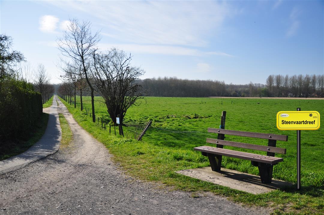
Steenvaartdreef: 'Steenvaert Rivière', 'Canal de prise d'eau à la Senne pour le Moulin de Steen' This unique 'Steenvaartdreef' used to be, as the name gives it away, a 'canal'.
This beautiful slow road loop starts in Zemst, consists of 77% slow roads and measures 4.7 km in nature.
automatic translation
Monday, July 28, 2025 by H.C.Today, 28/07/2025, tried to do this hike. After a little less than 1km, just after the little bridge, the trail was so dense with vegetation that there was no getting through. The trail was also between two fences, so it was also not possible to go around it/take an alternate route. This hiking trail is clearly not maintained.
automatic translation


 Upgrade to Premium Plus
