 Hiking
 Login
Login
 More
More
 EN
EN
 Premium
Forest Trail
automatic translation
6.8 km • Zemst
3.1447 3 4/5
route offered by
Toerisme Zemst
 Addresse starting point (approximate)
Tuilstraat 6, 1982 Elewijt
 signage
The route is not signposted. Use a GPS device or our app to follow the route.
 Description
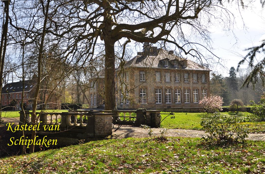
Schiplakenvoetweg: 'Sentier 26 Schiplaekenboschvoetweg', 'Sentier du Campenhoutsebaen au Heverschebaen'.
This beautiful slow road loop starts in Zemst, consists of 66% slow roads and measures 6.7 km in nature.
automatic translation
Tuesday, March 24, 2026 by Magda GodtsA lovely walk. Almost entirely on unpaved paths. A mix of fields, woods, and tree-lined avenues. We did start in the opposite direction, though...😏. The starting point takes a bit of searching to find.
automatic translation
Monday, April 25, 2022 by Cor van HasseltNice quiet walk through field and bushes . Just was a little difficult to find the starting place.
automatic translation
Wednesday, June 16, 2021 by Tony DockxVery nice hike. Varied forest, meadow and slow roads. Very quiet.
automatic translation


 Upgrade to Premium Plus
