 Hiking
 Login
Login
 More
More
 EN
EN
 Premium
Brickyard tunnels rediscovered
automatic translation
16.6 km • Boom
4.5305 2 4.5/5
route offered by
Toerisme Provincie Antwerpen
 Addresse starting point (approximate)
Schommelei 1, 2850 Boom
 signage
The route is fully signposted with nodes.
 Description
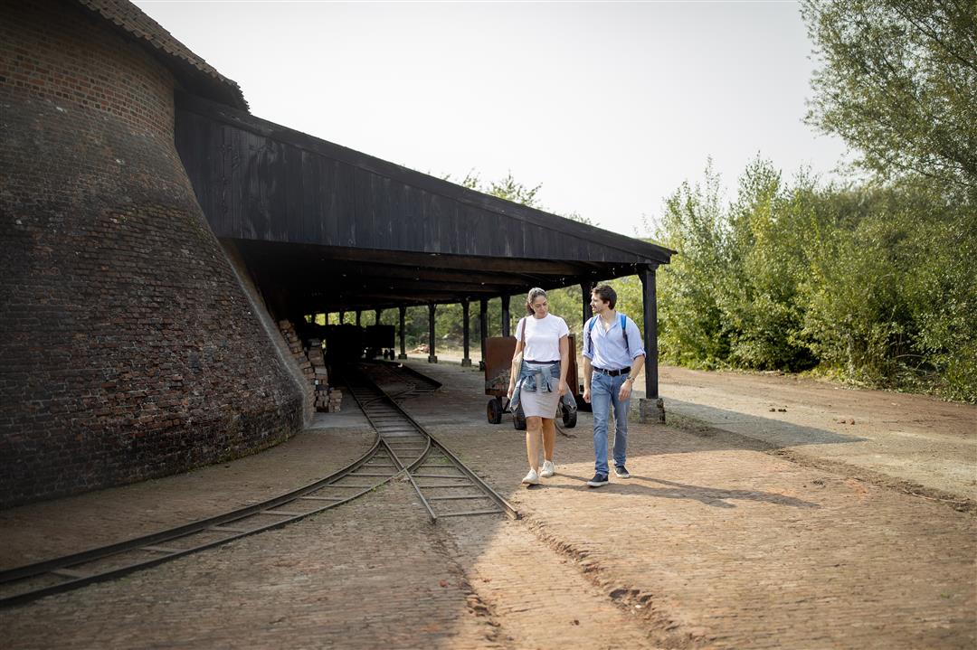
The rhythm of the Rupel region is determined by its tidal river of the same name, the industrial heritage of the brickmaking industry and, more recently, the beats of Tomorrowland. All three leave their mark on the landscape.
The countless clay pits, drying sheds and chimneys immediately catch the eye, but with this walk we will also shine our light over or into a less conspicuous, but no less remarkable piece of heritage: the many Rupelian brickmaking tunnels. There are more than 50 of them! In this hiking brochure, the tunnels are our guides along a 17 km route and 400 years of history.
You can also choose to do the hike in two and opt for 2 shorter loops.
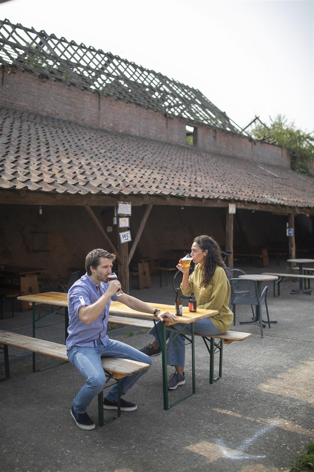
Along the way, numerous picnic benches, idyllic spots and authentic cafes offer rest and relaxation. Be sure to bring your binoculars if you like to spot waterfowl.
For more information about the region, contact Tourism Rupelstreek. You will come across the information office when you walk from the parking lot (P1) to the starting point (node 102). Tourism Rupel region T: 03 880 76 25 - [email protected] www.toerismerupelstreek.be
automatic translation
 nodes to follow
0 km
0.6 km
0.8 km
1.3 km
2.2 km
2.7 km
2.8 km
3.4 km
3.7 km
4.2 km
4.3 km
5.4 km
6 km
6.6 km
7 km
7.9 km
8.8 km
9.4 km
9.8 km
10 km
10.7 km
10.8 km
11 km
11.7 km
12.2 km
12.5 km
13.2 km
14.2 km
15.1 km
15.4 km
16 km
16.4 km
16.8 km
Saturday, May 15, 2021 by Laurent VannieuwenhoveWe can only agree with French. Very nice walk with instructive stops.
automatic translation
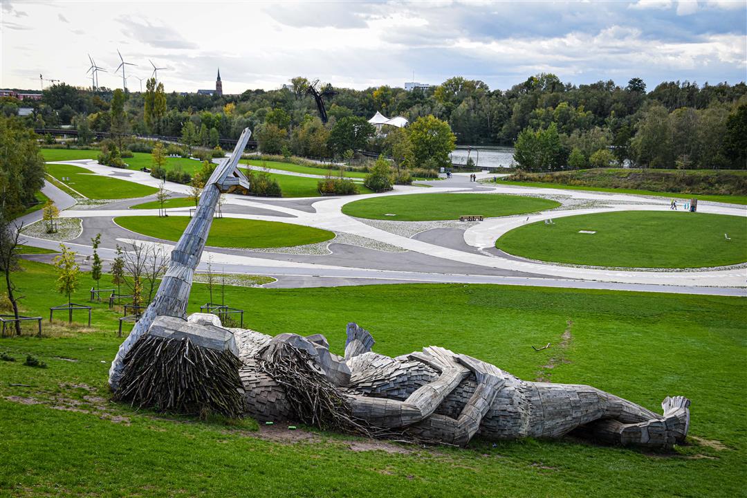
Thursday, April 22, 2021 by Frans Van avermaeta very beautiful route,for certain places I definitely give five stars,provincial domain and then the hundreds of meters of footbridges in the nuts beautiful.occasionally we come in the built-up area.we see the restoration where brickmakers factories were,also a part along the Scheldt,the many ponds in the woods,just beautiful.many rest benches
automatic translation


 Upgrade to Premium Plus
