 Hiking
 Login
Login More
More EN
EN Premium
Herman's Hill Walk - Blue
automatic translation
4 km • Bekkevoort
 official route
4860 0 0/5
4 km
0.0 km
0.0 km
route offered by
 Addresse starting point (approximate)
Onze-Lieve-Vrouwekerk, Dorpsstraat, 3460 Assent (Bekkevoort)
 signage
The route is fully signposted with nodes.
© Toerisme Vlaams-Brabant
 Description
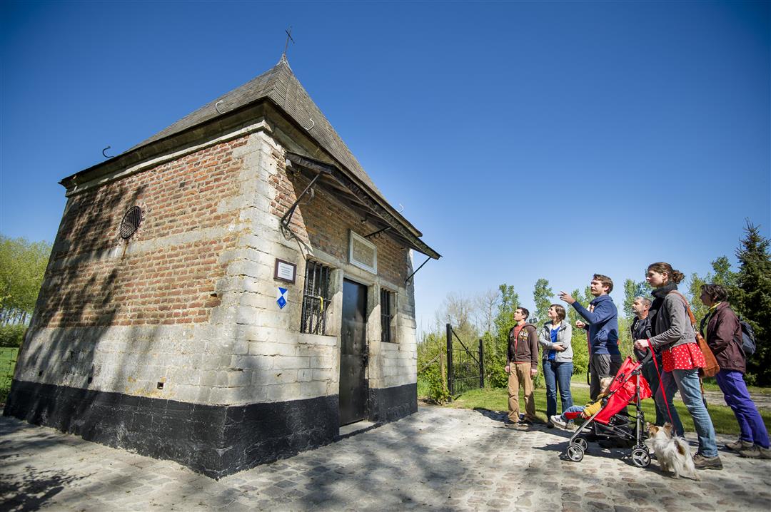
This shorter walk leads you over the Hermansheuvel, a typical Hageland Diestiaan hill where there are still remains of sandbanks from the Diestiaan Sea. From the 35 meter high summit, enjoy the beautiful panoramas over the Begijnenbeek valley.
The walk is signposted in two directions with blue diamond.
This walk is offered by Tourism Flemish Brabant.
automatic translation
 nodes to follow
0 km
0.2 km
1.1 km
1.6 km
1.9 km
3.2 km
3.7 km
3.8 km
4 km


 Upgrade to Premium Plus
