
 Hiking
 Login
Login
 More
More
 EN
EN
 Premium
Hermansheuvelwandeling - Orange
7.4 km • Bekkevoort
 official route
2.3492 1 3.5/5
route offered by

 Addresse starting point (approximate)
Onze-Lieve-Vrouwekerk, Dorpsstraat, 3460 Assent (Bekkevoort)
 signage
The route is fully signposted with nodes.
 Description
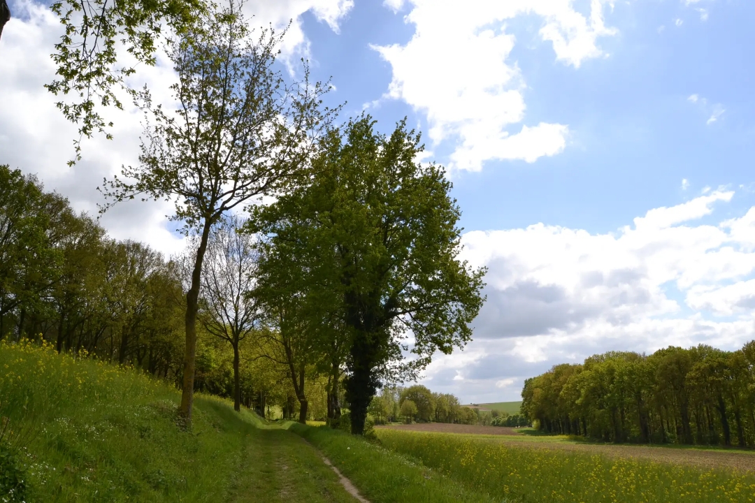
The Hermansheuvel is a typical Hageland Diestian hill, a fossilized sandbank that serves as a reminder of when the sea still reached this far. The area was already inhabited during the Stone Age. Archaeological research has unearthed thousands of stones and pottery objects from the Michelsberg culture. Did people back then also enjoy the beautiful view over the Begijnenbeek Valley so much? Most likely. Your walk alternates between stretches of nature and fields, orchards, and sunken roads.
Before you set out: The trail is marked in both directions with an orange circle.
automatic translation
 nodes to follow
0 km
0.2 km
1.1 km
1.6 km
2.1 km
3.1 km
3.5 km
3.9 km
4.8 km
5.4 km
5.8 km
6.6 km
7.2 km
7.2 km
7.4 km
Monday, November 1, 2021 by V.Q.Beautiful route along narrow country roads and hollow trails, with occasional beautiful views, culminating in the windmills of Diest. Good walking shoes are a must. After a lot of rain it can be muddy on certain stretches. Pay attention if you want to add the extra loop of 2.5km to this orange route(7km). We did not see it.
automatic translation



 Upgrade to Premium Plus


