 Hiking
 Login
Login More
More EN
EN Premium
Tielt Motte Walk - Green
automatic translation
2.9 km • Tielt-Winge
 official route
5120 0 0/5
2.9 km
0.0 km
0.0 km
route offered by
 Addresse starting point (approximate)
Huize Hageland, Oudepastoriestraat 22, 3390 Tielt (Tielt-Winge)
 signage
The route is fully signposted with nodes.
© Lander Loeckx
 Description
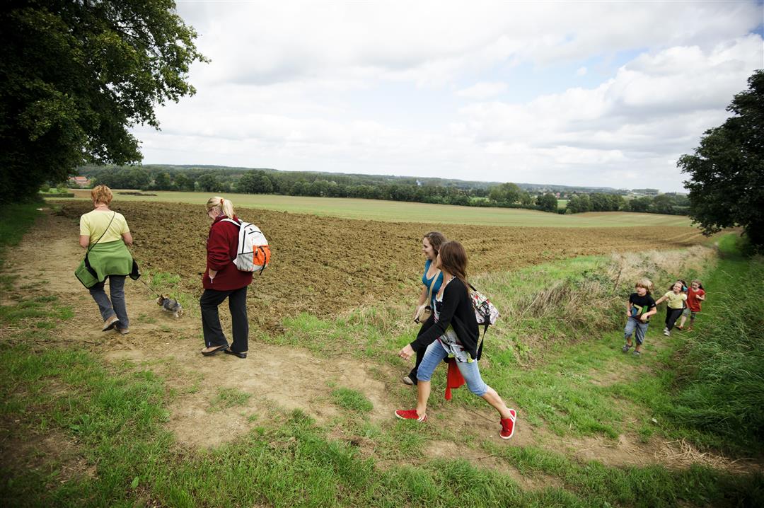
This short route is ideal for those who want a taste of the surrounding landscape from the old presbytery, Huize Hageland. From the famous Vlooyberg tower you have a very wide view of the surroundings when the weather is nice.
The hike is signposted in two directions with a green rectangle.
automatic translation
 nodes to follow
0 km
0.6 km
1 km
1.6 km
2.4 km
2.9 km


 Upgrade to Premium Plus
