
 Hiking
 Login
Login
 More
More
 EN
EN
 Premium
Tieltse Mottewandeling - Orange
8.4 km • Tielt-Winge
 official route
3.3121 0 0/5
route offered by

 Addresse starting point (approximate)
Huize Hageland, Oude Pastoriestraat 22, 3390 Tielt-Winge
 signage
The route is fully signposted with nodes.
 Description
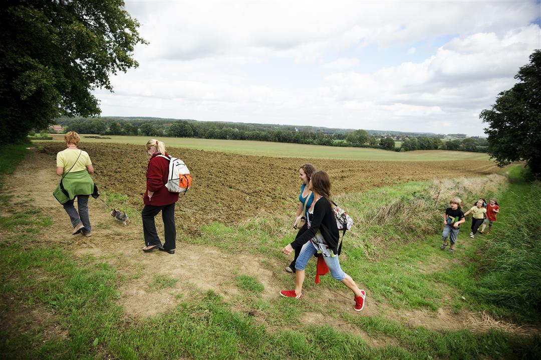
On this walking loop, you’ll explore the Motte Valley. Along the way, you’ll come across lovely little features of the landscape, such as pools and sunken paths. The high water levels in the area support typical vegetation like sphagnum moss and spotted orchids. Of course, you’ll pass the Vlooyberg Tower; its rust-brown staircase leads you to the most beautiful view of the Hageland. You’ve undoubtedly seen it in the TV series *Callboys*.
Before you set out: The trail is marked in both directions with an orange circle.
automatic translation
 nodes to follow
0 km
0.6 km
1 km
1.6 km
2.1 km
2.9 km
3.7 km
4 km
5.2 km
5.7 km
7.7 km
7.9 km
8.4 km



 Upgrade to Premium Plus


