 Hiking
 Login
Login More
More EN
EN Premium
Hageland Valley Walk - Blue
automatic translation
6 km • Holsbeek
 official route
route offered by
 Addresse starting point (approximate)
Sint-Mauruskerk, Gebr. Van Tiltstraat 1, 3220 Holsbeek
 signage
The route is fully signposted with nodes.
 Description
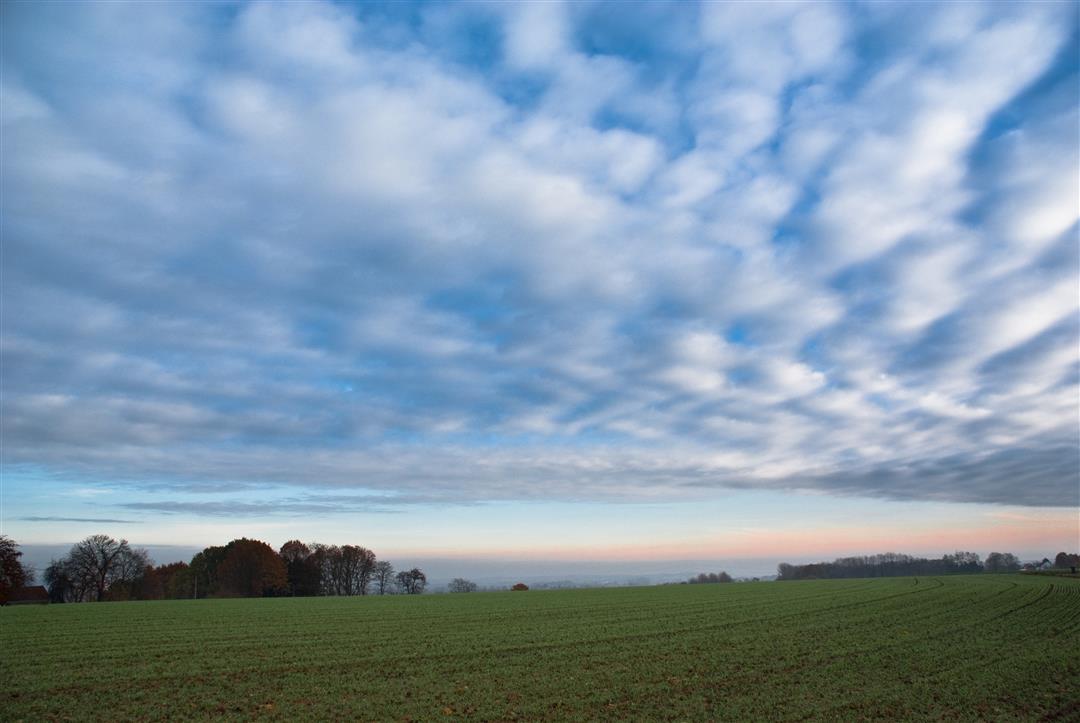
This walk leads you through the Kloosterbroekbos, which together with Dunbergbroek and Horst forms the nature reserve' Hagelandse Vallei'. The Kloosterbroekbos is an authentic, wet deciduous forest. The forest is most striking around the end of April with the ramson plants in bloom, which give off a pungent garlic scent. Also growing are typical forest plants such as muskwort, primrose, sagebrush, arum and many others. You walk through the valley of the Winge, a tributary of the Demer, carved out of the ironstone hills and past Hof ter Winghe, a farmstead dating from the second half of the 16th century.
The walk is signposted in two directions with blue diamond.
This walk is offered by Tourism Flemish Brabant.
automatic translation
 nodes to follow
0 km
0.2 km
0.6 km
1 km
3.2 km
3.7 km
4.4 km
4.9 km
5.3 km
5.7 km
5.9 km
Monday, May 24, 2021 by Karin van de VenAfter days of rain, you need good walking shoes on this hike. Very muddy, like it myself, the child comes back to the surface, beautiful surroundings. Alternately paved, unpaved but mostly unpaved. Indicates 7.2 km but after my experience I walked a bit more. Not bad, walk does not get bored.
automatic translation


 Upgrade to Premium Plus
