 Hiking
 Login
Login More
More EN
EN Premium
Hageland Valley Walk - Orange
automatic translation
6.7 km • Holsbeek
 official route
route offered by
 Addresse starting point (approximate)
Sint-Mauruskerk, Gebr. Van Tiltstraat 1, 3220 Holsbeek
 signage
The route is fully signposted with nodes.
 Description
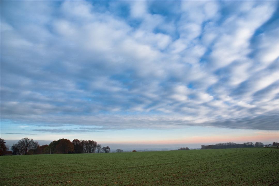
Explore the valley of the Winge and the Dunbergbroek, which together with Horst form the nature reserve "Hageland Valley. And discover the great variety of plants, insects, birds and mammals. Fraternize with the flock of fox sheep that manage the grassland and spot hawks, polecats, kingfishers or deer, for they like to thrive in this landscape. You will also walk along the Winge, a tributary of the Demer, carved out of the ironstone hills and past Hof ter Winghe, a farmstead that dates back to the second half of the 16th century.
The walk is signposted in two directions with an orange circle.
This walk is offered by Tourism Flemish Brabant.
automatic translation
 nodes to follow
0 km
0.2 km
0.6 km
1 km
1.5 km
2.2 km
2.7 km
2.8 km
3.5 km
3.7 km
3.8 km
4.4 km
5.3 km
5.6 km
6.4 km
6.4 km
6.6 km
Friday, April 26, 2024 by J.C.Nice hike to do in between.
automatic translation
Saturday, January 15, 2022 by Jan Van hoeckwe did all the colors (orange-red and blue). Wonderful hike!!! Only at blue a lot of proximity to highway..And do not forget your 'galochen', you will be able to use them ...!
automatic translation


 Upgrade to Premium Plus
