 Hiking
 Login
Login More
More EN
EN Premium
Cow Forest Walk - Orange
automatic translation
6.1 km • Lubbeek
 official route
route offered by
 Addresse starting point (approximate)
Parking site UZ Pellenberg, Weligerveld, 3212 Pellenberg (Lubbeek)
 signage
The route is not signposted. Use a GPS device or our app to follow the route through the virtual nodes.

 Description
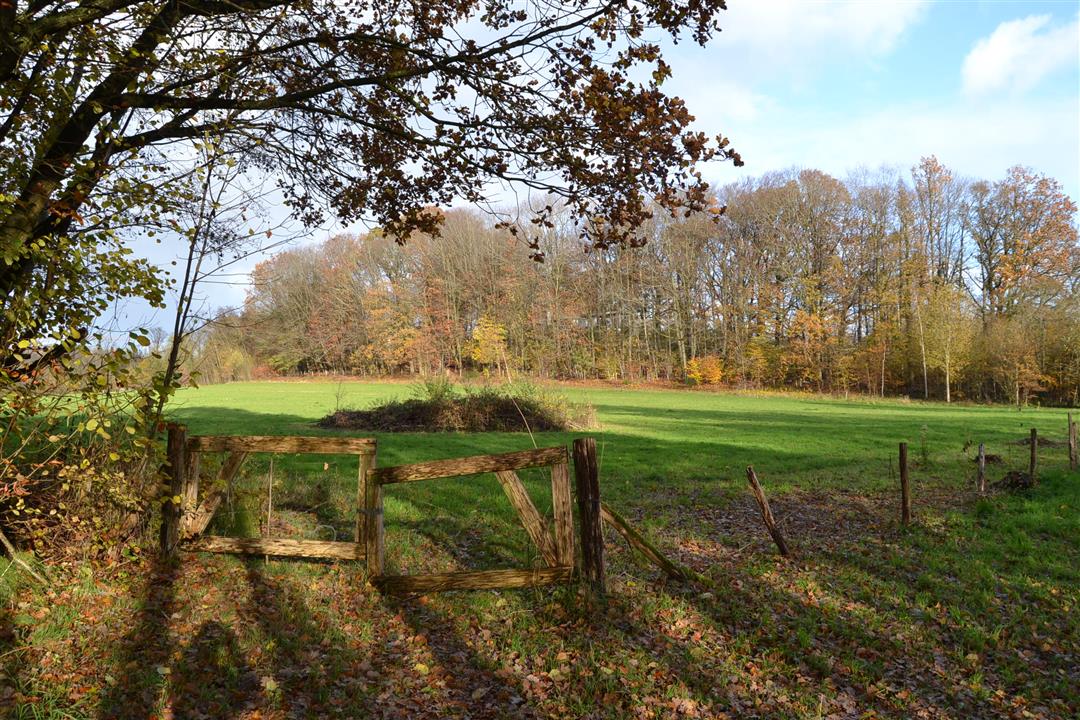
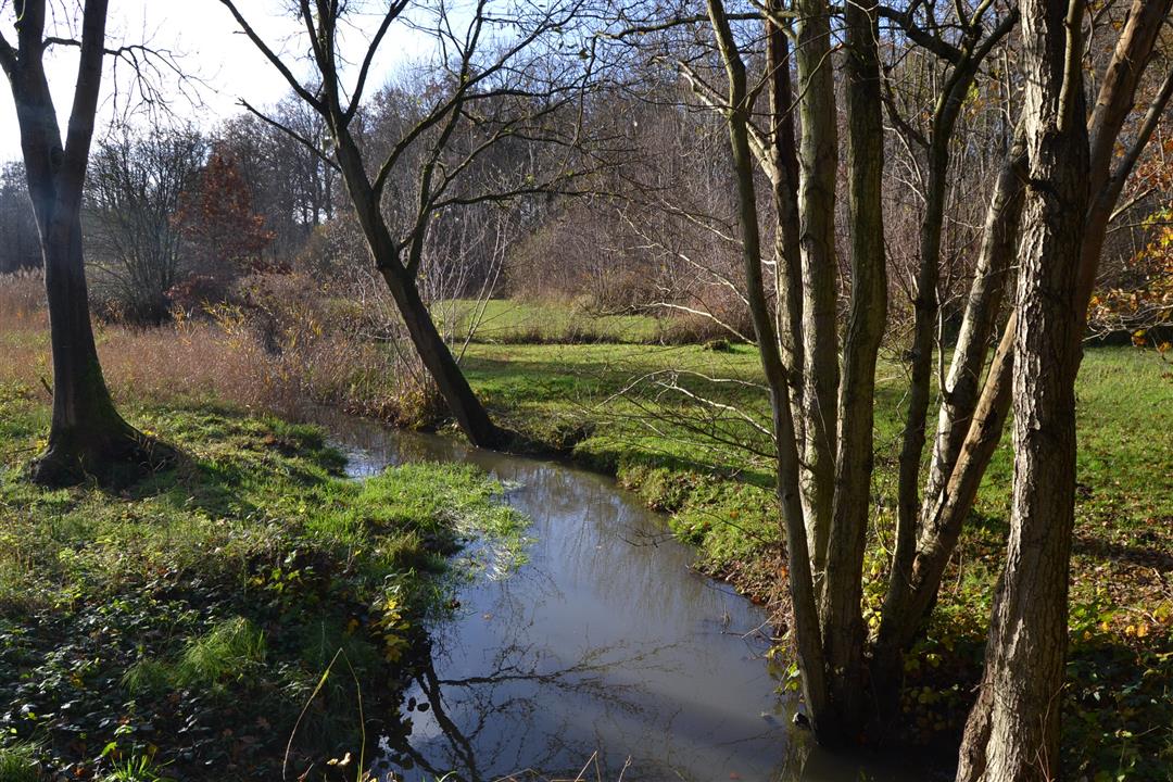
The orange Koebos walk takes you as far as the Herendaalhoeve, one of the largest and oldest farms in the Hageland. This abbey farm dates back to the 13th century and was founded by the lords of Park Abbey in Heverlee. It is to these "lords" that the farm owes its name. After various stormings, fires and destruction over the years, the farm was gradually rebuilt. The landscape adjacent to the farm is called 'hell'. The word "hell" can be thought of as a dark, unknown depth, or come from the word slope, as the farmstead is in fact located atop a steep, wooded slope at the edge of the plateau.
NOTE: This is a walk on a virtual walking network. The nodes are not signposted in the field.The hike is signposted in two directions with orange circle.
This hike is offered by Tourism Flemish Brabant.
automatic translation
 nodes to follow
0 km
0.5 km
1 km
1.1 km
2.8 km
2.9 km
3.6 km
4.3 km
5.1 km
5.5 km
6.1 km
Friday, March 25, 2022 by L.W.Indeed relatively quiet walk. Some nice views, but also nothing more. One-time
automatic translation
Saturday, July 10, 2021 by J.V.Surprisingly beautiful and restful hike.
automatic translation
Sunday, May 16, 2021 by Sandy SeghersExpectations were low because of major traffic axes in the neighborhood, but this hike was FAN-TAS-TIC. Beautiful green surroundings with lovely views and wonderful peace and quiet. Houses, as if time stood still, with neat neat vegetable gardens that made me reminisce about the time with my grandparents who plowed in 'den hof'. TOP!
automatic translation


 Upgrade to Premium Plus
