 Hiking
 Login
Login More
More EN
EN Premium
The Muscle Walk - Orange
automatic translation
4.1 km • Lubbeek
 official route
route offered by
 Addresse starting point (approximate)
Sint-Martinuskerk, Dorpskring, 3210 Lubbeek
 signage
The route is not signposted. Use a GPS device or our app to follow the route through the virtual nodes.
 Description
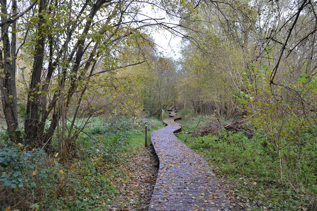
Let yourself be led along the ancient footpath through the Molenbroek where springs provide pure water in the Molenbeek. The higher Kalvariebos, where children can have fun on the scrambling course in the play forest, used to be part of the castle domain De Boilley - 't Serclaes. You catch a glimpse of this castle park from the processional road. The hike also leads you through the center and past the church of Lubbeek.
NOTE: This is a hike on a virtual hiking network. The nodes are not signposted in the field. Follow the geometric figure, an orange circle (signposted in both directions).
This hike is offered by Tourism Flemish Brabant.
automatic translation
 nodes to follow
0 km
0.2 km
1.2 km
1.7 km
2.1 km
3.3 km
3.9 km
4 km
Sunday, January 2, 2022 by Karin van de VenVaried nice quiet walk , definitely recommended but I will recommend if has been dry for a while. Due to the rain last days muddy, slippery in some places. From summer I will definitely go back because then it will be even more beautiful when overgrown but worthwhile now too!
automatic translation


 Upgrade to Premium Plus
