 Hiking
 Login
Login
 More
More
 EN
EN
 Premium
Ter Linden path
automatic translation
7 km • Edegem
5.88720 3 3.3/5
route offered by
Toerisme Provincie Antwerpen
 Addresse starting point (approximate)
Drie Eikenstraat 1, 2650 Edegem
 signage
The route is fully signposted with thematic signs (no nodes).

 Description
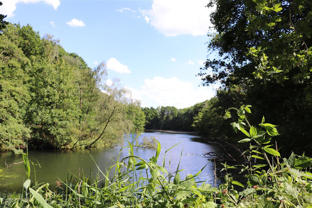
Nature and heritage: the Terlinden trail in Edegem effortlessly combines both.
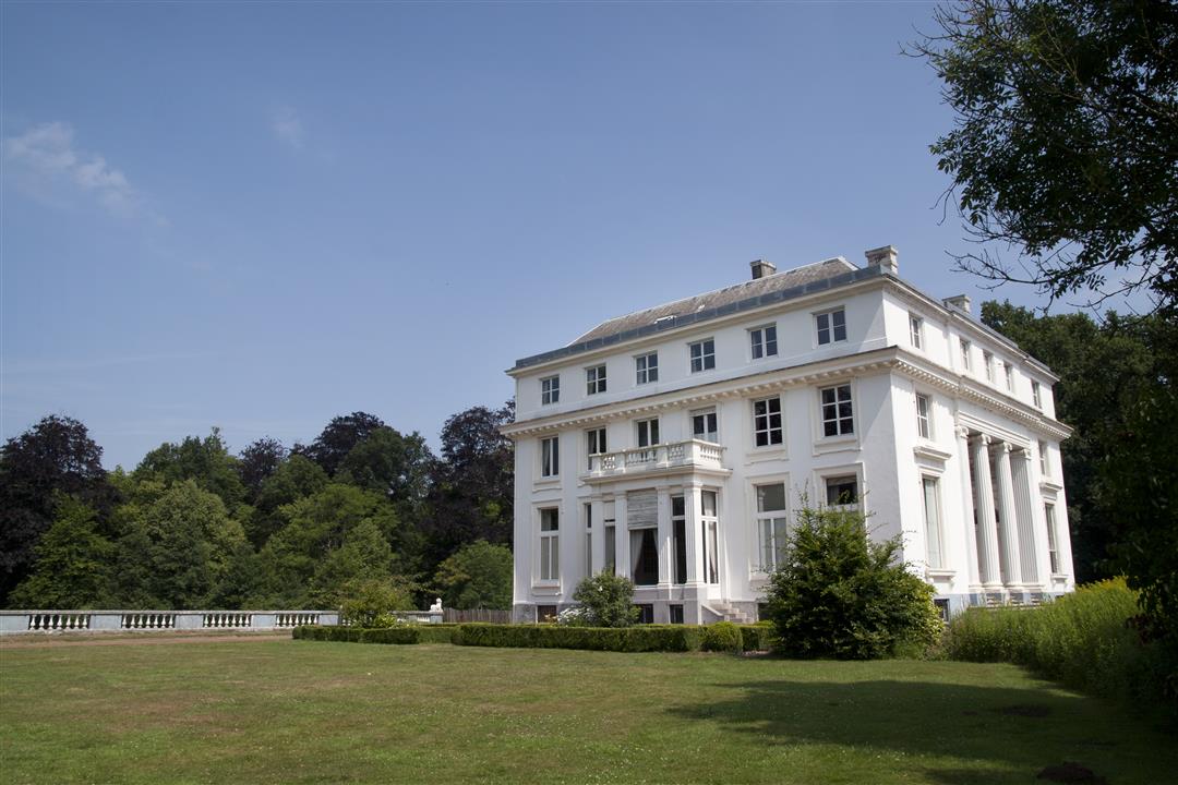
The absolute eye-catcher is the castle domain Hof ter Linden, a pleasant oasis for hikers in the surprisingly green Zuidrand. Via forest paths, slow roads and a wooden plank path of no less than 250 meters, you head towards Fort 5, part of the 19th-century defense belt around Antwerp. You also pass an adventurous play forest, a fruit picking garden and inviting picnic spots.
Additional hiking tips and tourist info at www.dezuidrand.be.
automatic translation
Tuesday, June 3, 2025 by Jessica DommicentSignage is missing in many places, therefore a lesser rating, so a gpx is really recommended. Otherwise a nice, quiet hike.
automatic translation
Saturday, February 5, 2022 by H.M.Due to the rain and thus the mud, the first 200m is hardly walkable, even dangerous. I don't think the route can be followed by its own signage !!! With the app and GPS of the Wandelknooppunten we managed anyway. It is indeed a wonderful walk.
automatic translation
Monday, April 12, 2021 by Albert JanssensThe walk does not go through the forest tulip path (works) as on map. There is a detour provided so you miss a lot of greenery. we were briefly lost, but with the app of wandelelknooppunt.be got back on the right path.
automatic translation


 Upgrade to Premium Plus
