 Hiking
 Login
Login
 More
More
 EN
EN
 Premium
Trappist Trail
automatic translation
7.1 km • Malle
8.02118 6 3.3/5
route offered by
Toerisme Provincie Antwerpen
 Addresse starting point (approximate)
Antwerpsesteenweg 487, 2390 Malle
 signage
The route is fully signposted with nodes.
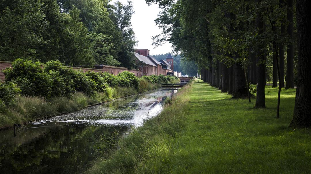
 Description
This hike through Westmal woods and meadows will take you to an oasis of tranquility. You will stay in an anchorage of heritage landscape Flanders, with the Westmal Trappist Abbey at its center. For those who want to take a look behind the scenes, you can attend the nones at 2 p.m. The peace and quiet ensured that various religious orders found a residence here, including the monastery of the Contemplative Annunciates and the rest house of the Sisters of Our Lady of Namur.
automatic translation
 nodes to follow
0 km
0.1 km
0.3 km
1 km
1.7 km
3.1 km
3.2 km
3.6 km
3.8 km
4.4 km
4.9 km
5.2 km
5.6 km
6.1 km
6.5 km
7.2 km
Monday, August 11, 2025 by Bart VerbuntNodes everywhere! very clearly visible! don't understand previous comments here! nice hike and never had to search!
automatic translation
Tuesday, July 8, 2025 by Filip Janssenswhat a farce this walk ... nowhere to find nodes and after almost an hour of searching finally found a very unclear arrow No. 89. followed it and again nothing. after an hour of searching back in the car and went somewhere else to walk. Meanwhile 2 other people told me they also had this problem.
automatic translation
Friday, February 16, 2024 by J.J.Around the abbey wide walking avenues, towards Drie Boomkensberg more playful winding paths. Very beautiful and well-kept woods, where silence is still real silence. Also pleasant with leashed dog.
automatic translation
Wednesday, June 2, 2021 by Karin van de VenPleasant walk with now rhododendrons in bloom makes extra beautiful.
automatic translation
Monday, May 3, 2021 by bert rouckhoutleisurely walk on wide trails
automatic translation
Saturday, April 3, 2021 by G.D.Quiet walk on mostly passable unpaved forest trails.
automatic translation


 Upgrade to Premium Plus
