 Hiking
 Login
Login
 More
More
 EN
EN
 Premium
A wet and dry
automatic translation
13.3 km • Geel
5.4533 2 2.5/5
route offered by
Toerisme Provincie Antwerpen
 Addresse starting point (approximate)
Kemeldijk 18, 2440 Geel
 signage
The route is fully signposted with nodes.
 Description
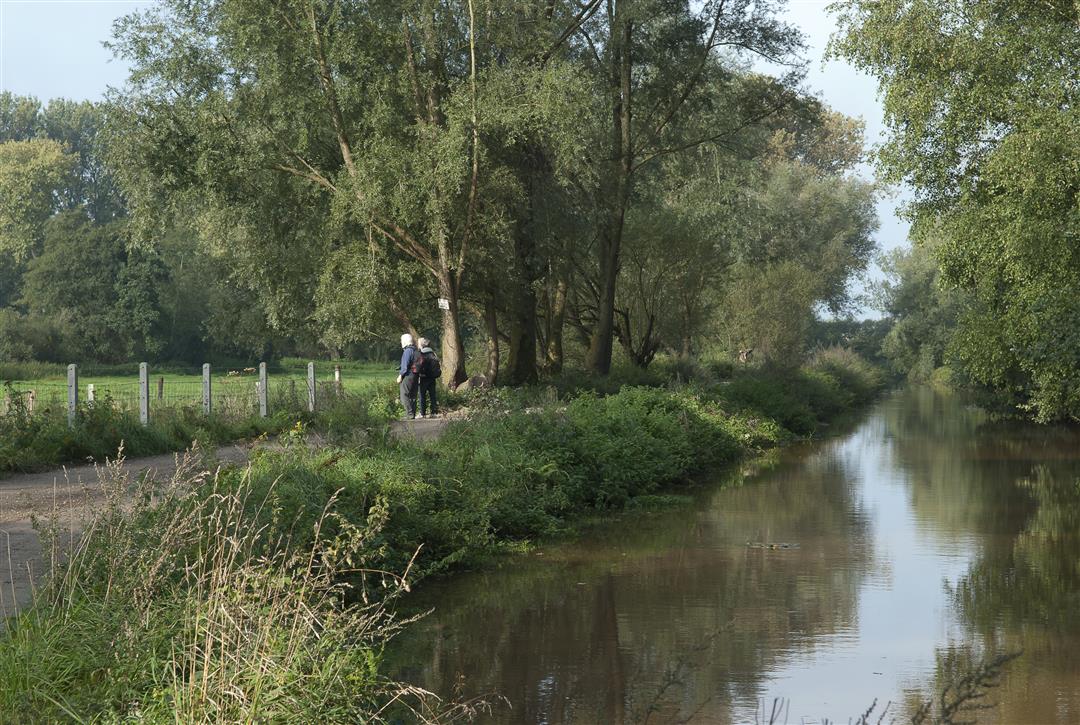
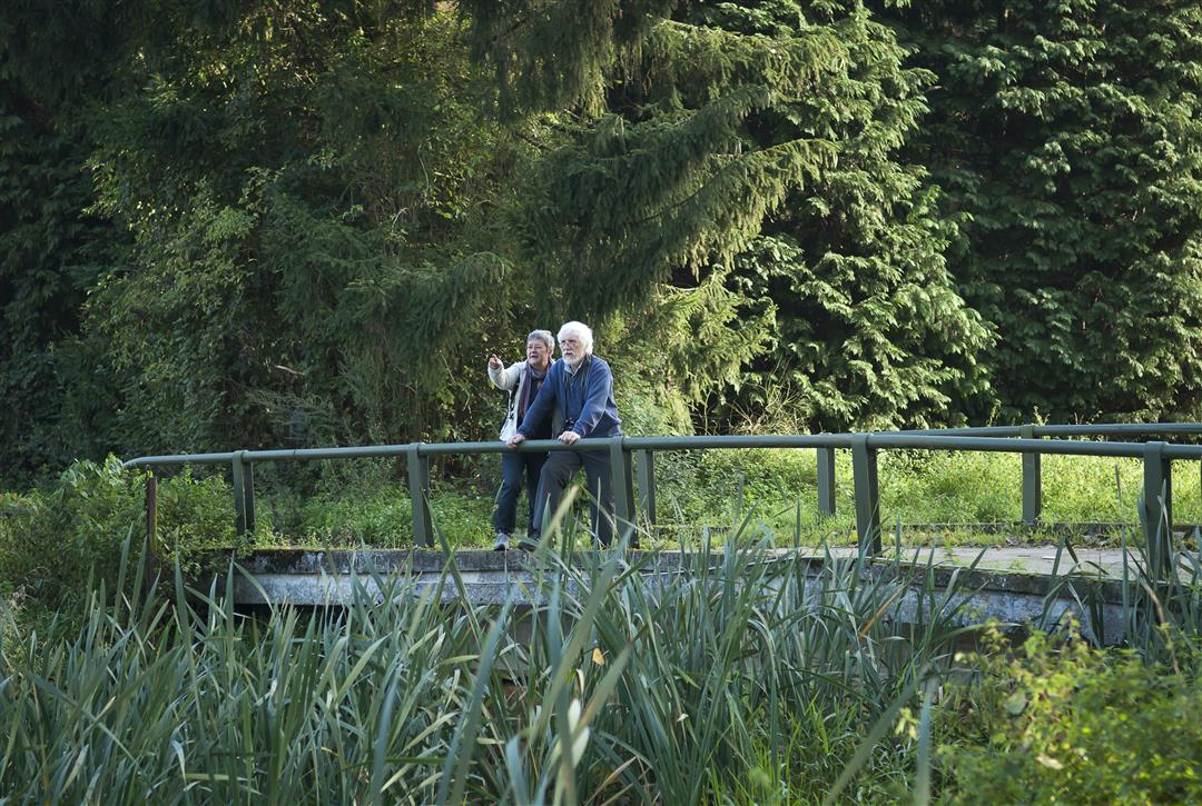
In the southeast of Geel, the Grote Nete meanders languidly between the fields in nature reserve Malesbroek. It comprises no less than 100 hectares of water landscape that is biologically valuable. At its center is a large, shallow pond: a remnant of former peat extraction. In Malesbroek, dry sandy ridges with coniferous forests and heath flow into a rugged stream valley with reed beds and swamp forests ~the favorite biotope of numerous bird species.
The short walk counts 5.8 kilometers. Can it be a little more? Then take the one of 13 kilometers. Rep yourself to bustling Geel for a landscape walk on the remnants of peat extraction. And don't forget your boots and binoculars!
automatic translation
 nodes to follow
0 km
0.5 km
1 km
1.6 km
1.9 km
3.9 km
6.1 km
7.4 km
7.6 km
8.4 km
11.5 km
11.7 km
12.7 km
13.2 km
Tuesday, March 23, 2021 by L.M.Seen some very nice bits of nature but we also walked a lot along narrow, busy streets.
automatic translation
Saturday, March 20, 2021 by G.V.Too bad there are still a bit many junctions on hard roads where there is also some moving traffic. As a result, you have to walk in good succession. The junctions on unpaved roads are highly recommended. It is not a trail that I would immediately recommend because of the traffic you have to take into account.
automatic translation


 Upgrade to Premium Plus
