 Hiking
 Login
Login
 More
More
 EN
EN
 Premium
Herselt: Around Hertberg
automatic translation
11 km • Herselt
6.2945 5 3.1/5
route offered by
Toerisme Provincie Antwerpen
 Addresse starting point (approximate)
Diestsebaan 28, 2230 Herselt
 signage
The route is fully signposted with nodes.

 Description
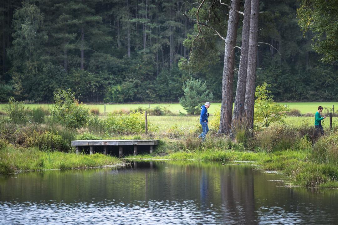
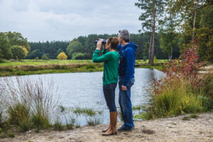
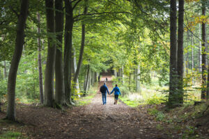
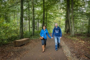
Traverse Provincial Green Estate Hertberg, the result of two centuries of continuous afforestation.
Hertberg is an endless seeming area of forest and nature, located in a region where three provinces meet. In addition to being a source of pleasure and relaxation for its many users, the nature preserve is also a haven of peace and tranquility for its natural inhabitants.
Stroll through endless avenues lined with coniferous trees. Do not be surprised if suddenly a deer or a fox appears.
automatic translation
 nodes to follow
0 km
0.3 km
1.3 km
2.4 km
2.7 km
3.2 km
3.3 km
4 km
4.3 km
4.7 km
5 km
5.2 km
5.5 km
5.8 km
5.8 km
7.2 km
7.9 km
8.6 km
9.1 km
10.3 km
10.9 km
Saturday, June 13, 2026 by Kris DehamersYou can add some variety to the walk by taking a detour through the Broeken. Start at Den Hulst pub, then head through a section of Helschotbos to the Trichelbroek. An interesting area where nature and the course of the Grote Laak are being restored. From the Laak valleys via Varenberg to Hertberg and the rest of the route. A few extra miles, but well worth it.
automatic translation
Wednesday, February 5, 2025 by J.L.It really is walking in a circle 🫤
automatic translation
Sunday, September 19, 2021 by M.M.Hike was monotonous. You are just constantly sent around in a hiking forest. You feel like you stay in the same place a lot. We did discover a very nice little cafe with 250 different beers: beer pub Den Hulst. Definitely worth a visit...
automatic translation
Saturday, April 10, 2021 by Roger NuytsIf you are going to do the walk then start from parking Mien Maan ... If you drive to the address so if you print the walk you drive to Veerlepad 2230 Herselt and kunje not to the nodes start so drive to Diestsebaan 28 Herselt
automatic translation
Saturday, March 27, 2021 by bert rouckhoutquiet simple but beautiful
automatic translation


 Upgrade to Premium Plus
