 Hiking
 Login
Login
 More
More
 EN
EN
 Premium
Small Shooting Range Brasschaat
automatic translation
13.9 km • Brasschaat
7.7159 6 4.2/5
route offered by
Toerisme Provincie Antwerpen
 Addresse starting point (approximate)
Licht Vliegwezenlaan 3, 2930 Brasschaat
 signage
The route is fully signposted with nodes.
 Description
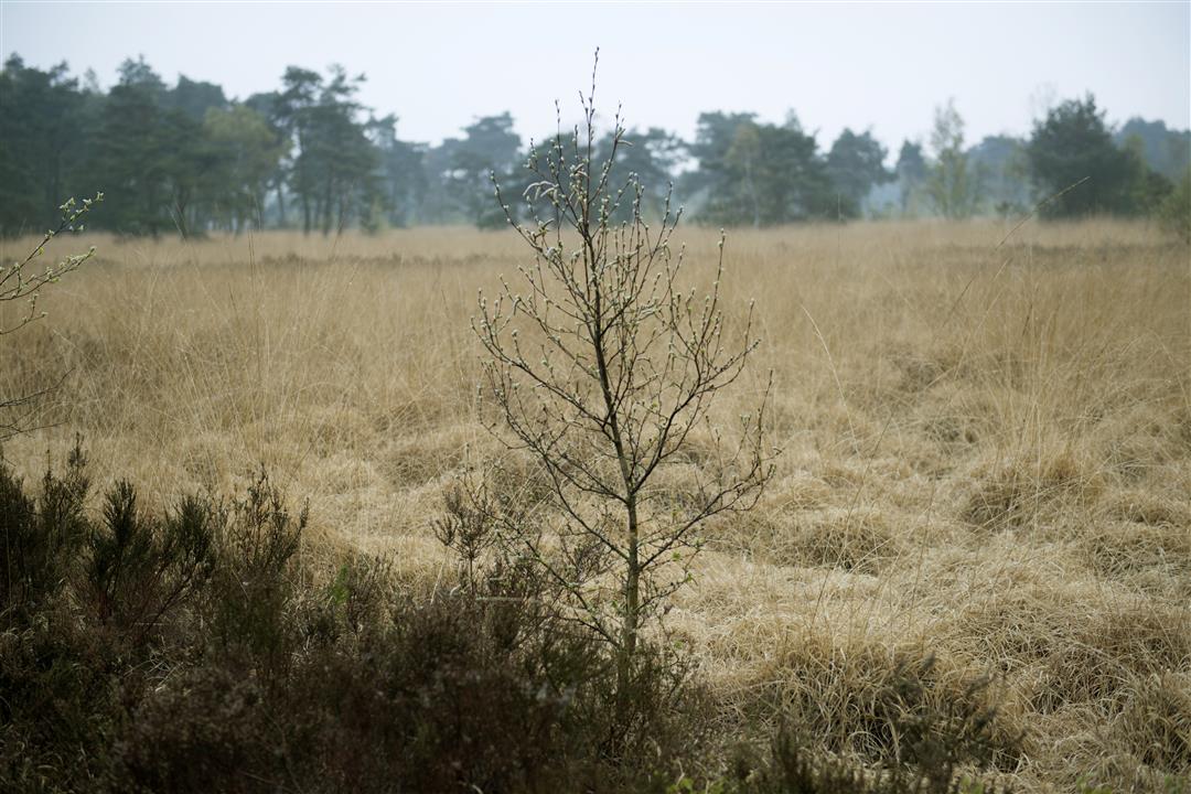
The military domain in Maria-ter-Heide district is 10 years older than the municipality of Brasschaat itself. Army and municipality therefore have historically close ties. Because of the good relationship, you can enjoy a piece of breathtakingly beautiful military domain: the Klein Schietveld.
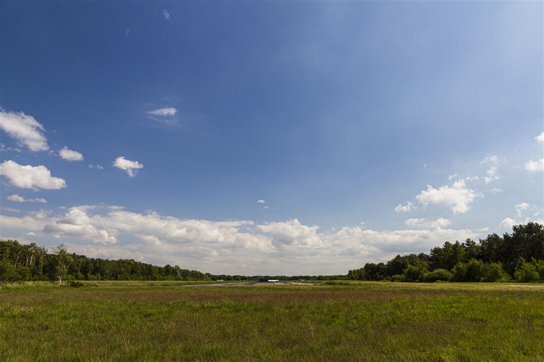
Wet heath and fens, dry heath, land dunes and sparse grasslands blend seamlessly here.
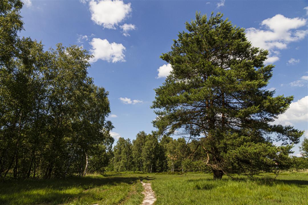
It is a contiguous piece of nature of nearly 900 hectares. Unlike its big brother, the Klein Schietveld is partially accessible to the general public. You can enjoy hiking, (rail) biking and horseback riding. The Klein Schietveld is military domain and European top nature.
automatic translation
 nodes to follow
0 km
0.8 km
3 km
3.9 km
4 km
4.4 km
4.6 km
5.2 km
5.6 km
6.6 km
8.1 km
8.7 km
9.3 km
10.5 km
11.3 km
11.6 km
12.2 km
12.9 km
13.7 km
Thursday, July 31, 2025 by L.V.Very nice hiking trail, shady, lots of nature, very quiet. You can spot deer and hares. Highly recommended!
automatic translation
Sunday, August 4, 2024 by Ludo MeeuwsenBeautiful walk with ooie pieces of heathland.The streets next to the larger houses is a little less.
automatic translation
Thursday, June 23, 2022 by Yasmin VdCFine walk, mostly through nature (forest, heath). A pleasure for owner and dog(s). If the courage after a while is not so great, you can also easily shorten. Had a lot of rain during the walk, but this did not pose a problem in terms of walkability.
automatic translation
Sunday, October 24, 2021 by Philip DuymelinckNice autumn walk on a Sunday afternoon. In the nice quiet suburbs and through forests. Along all kinds of military buildings and sites such as the 'Mundep'. In between a provisioning in 'Het Paddockske' and finally ending in the clubhouse of MVCB (Motorvliegclub Brasschaat) and enjoying the planes.
automatic translation
Tuesday, October 12, 2021 by bert rouckhoutvery nice walk especially through deciduous forests 2 nice terraces at the sport airfield nice to see off how the pilots land and take off
automatic translation
Tuesday, September 7, 2021 by K.W.Very nice nature walk to unknown places of the old military domain and along a stretch of heathland. A refreshment or thirst quencher can be found at the airfield.
automatic translation


 Upgrade to Premium Plus
