 Hiking
 Login
Login
 More
More
 EN
EN
 Premium
Silent walk in Landscape De Liereman
automatic translation
13.2 km • Oud-Turnhout
5.3399 6 4.2/5
route offered by
Toerisme Provincie Antwerpen
 Addresse starting point (approximate)
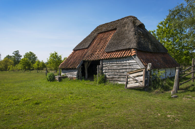
Bezoekerscentrum De Liereman. Schuurhovenberg 43, 2360 Oud-Turnhout
 signage
The route is fully signposted with nodes.
 Description
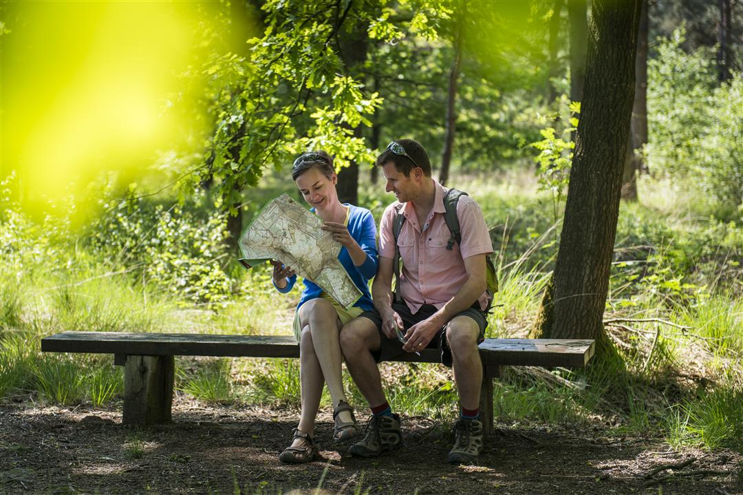
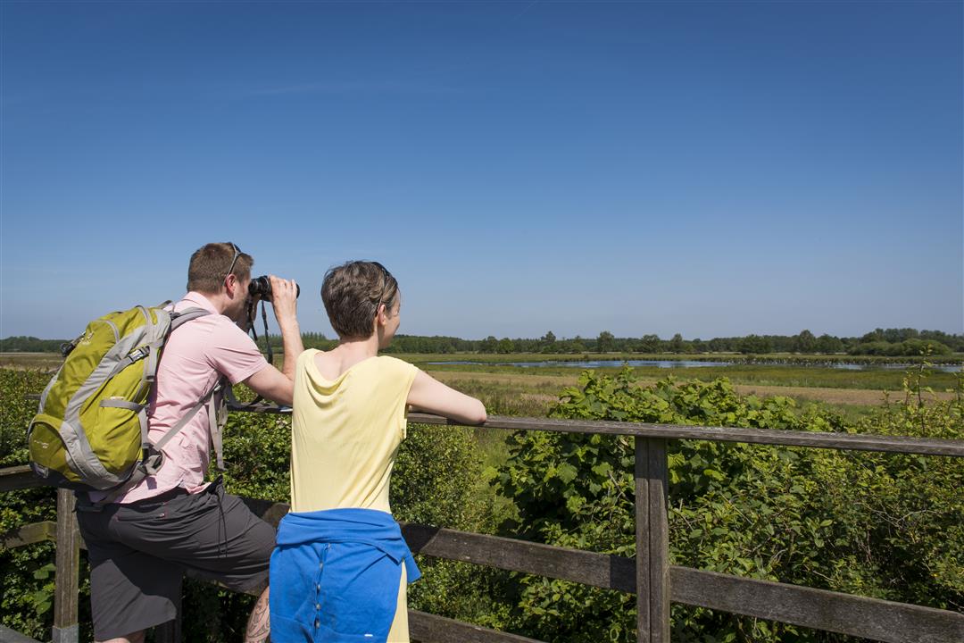
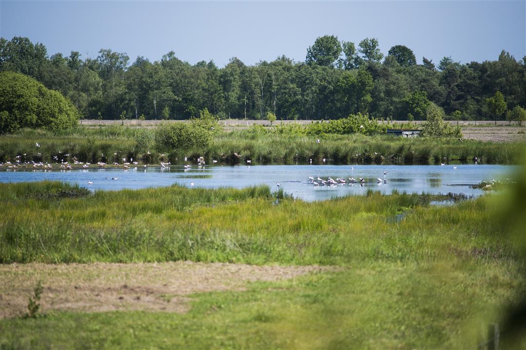
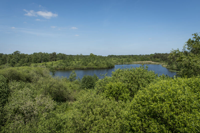
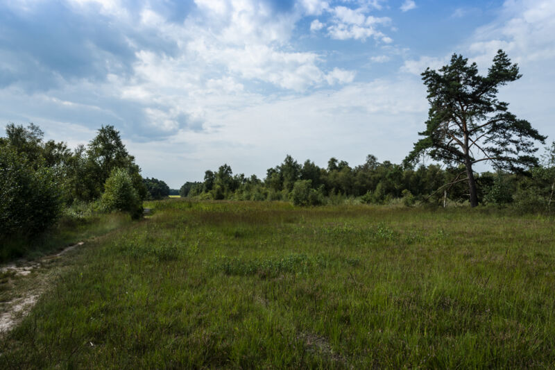
Landscape De Liereman, located between Oud-Turnhout and Arendonk, is not only one of the oldest recognized nature reserves in Flanders, it is also an official silence area. A beautiful theme walk that immerses you in the silent zen force of this unique piece of Kempen nature is the Silence Walk, which starts and ends at the visitor center. The largely unpaved route takes you from one special habitat to another: sometimes you stroll under the canopy of an oak forest, other times you cross vast heaths, grasslands and dunes, or you stroll along boardwalks through soaking wet marshes with gale bushes and mysterious low hanging bog forests.
And just when you think you've seen almost everything, the unpaved towpath along the Dessel-Schoten canal awaits you. At
the visitor center you can refuel your energy with local treats like a "pipe straw," an organic nut cookie. Ready
for something a little more punishing? Then be sure to try the 'Gageleer', a dark blond organic local beer that, according to medieval custom
spiced with wild gale.
automatic translation
 nodes to follow
0 km
0.1 km
0.2 km
0.7 km
1.3 km
2.1 km
2.5 km
2.6 km
3.4 km
3.9 km
4.6 km
6.1 km
6.7 km
7.5 km
8.6 km
9.6 km
10.9 km
12.3 km
13.1 km
13.2 km
13.3 km
Friday, January 10, 2025 by Peter D'hontA beautiful walk, especially the stretch along the canal. Put on good shoes in rainy weather, and when I did the walk in December, the stretch between junction 53 and 41 was impassable without rain boots. I had to detour along the public road there for a while.
automatic translation
Sunday, June 19, 2022 by D.M.Very much enjoyed the beautiful nature and silence during this hike! Highly recommended.
automatic translation
Friday, October 29, 2021 by C.V.You can hear the cars from the E34 and the ring around Turnhout (too bad)The stretch along the Kempen canal is beautiful during the autumn days,had expected more of it here.
automatic translation
Wednesday, April 7, 2021 by bert rouckhoutbeautiful walking quiet
automatic translation
Sunday, March 28, 2021 by C.G.Highly recommended! Just beautiful, quiet (started at 8:45am), varied. Great parking at the visitor center is definitely a plus!
automatic translation
Saturday, March 20, 2021 by Aleydis BulckeVery nice walk. Forests, fens, meadows and a beautiful stretch along the Dessel-Schoten canal. We missed junction 46, but we suspected it was hidden behind a placard (natural forest or space for agriculture), because we did see it. The app did get us back on the right track.
automatic translation


 Upgrade to Premium Plus
