 Hiking
 Login
Login
 More
More
 EN
EN
 Premium
Boulder Hill Walk
automatic translation
11.4 km • Balen
3.1702 2 4.2/5
route offered by
Toerisme Provincie Antwerpen
 Addresse starting point (approximate)
Recreatie- en natuurpark De Keiheuvel, 17de Esc. Licht Vliegwezenlaan 14, 2490 Balen
 signage
The route is fully signposted with nodes.


 Description
Spectacular sands that catapult you briefly to the desert? Check.
Healthy forest air and a sea of purple heather flowers? And or.
Lovely quiet spots and a hammock to take a breather? Absolutely!
The Keiheuvel hike in Balen is the brand new hike of the year.
Hammock in the desert
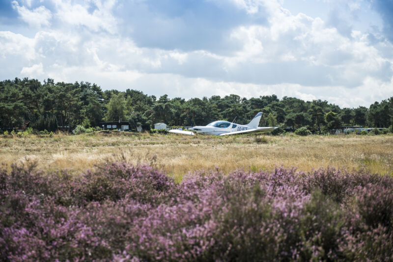
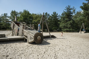
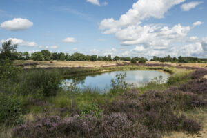
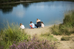
After barely a few steps into the Keiheuvel, a vast landscape of sand flats, fens and dune grasslands opens up, fringed by seductively fragrant pine trees. Flowering heather turns purple. Rabbits hop ahead of you in the loose sand. The dune landscape may look like a desert, but make no mistake: it is full of life. The Keiheuvel is a hotspot for insects and birds, from the woodlark to the nightjar. Recommended: rent a hammock at Recreatiedomein De Keiheuvel or Vrijetijdscentrum De Kruierie in Balen and take a break at one of the most photogenic spots.
Unique duo with De Most
After a detour along the Canal to Beverlo, it's on to De Most. The low-lying and swampy valley contrasts beautifully with the high and dry Keiheuvel. That the two totally different natural cores connect seamlessly makes Keiheuvel-De Most (540 ha) very exceptional. The wettest strips attract many plants and animals: from water strawberry over marsh grasshopper to small mud creeper. De Most once served as a hunting ground and hiding place for the resistance during World War II. Today, peace reigns.
Do you enjoy going out with the GPS? Download
automatic translation
 nodes to follow
0 km
0.5 km
1.3 km
1.6 km
2 km
2.5 km
3 km
5.2 km
5.5 km
5.9 km
6.4 km
7.3 km
8.4 km
9.1 km
10.7 km
11.5 km
Wednesday, January 4, 2023 by bert rouckhoutvery nice wandelijng many sand flats we did them on January 1 and still dry little mud you come along the runway of sports planes also many water lakes but unfortunately no horeca
automatic translation
Tuesday, April 13, 2021 by I.D.Nice hike with lots of variety. Sand, paved, forest, by the water,.... Not too many people. The junctions are sometimes a bit difficult to find, but otherwise TOP.
automatic translation


 Upgrade to Premium Plus
