 Hiking
 Login
Login
 More
More
 EN
EN
 Premium
Talander hike
automatic translation
10.8 km • Arendonk
4.6358 3 4/5
route offered by
Toerisme Provincie Antwerpen
 Addresse starting point (approximate)
Talander, Lusthoven 88, 2370 Arendonk
 signage
The route is fully signposted with nodes.
 Description
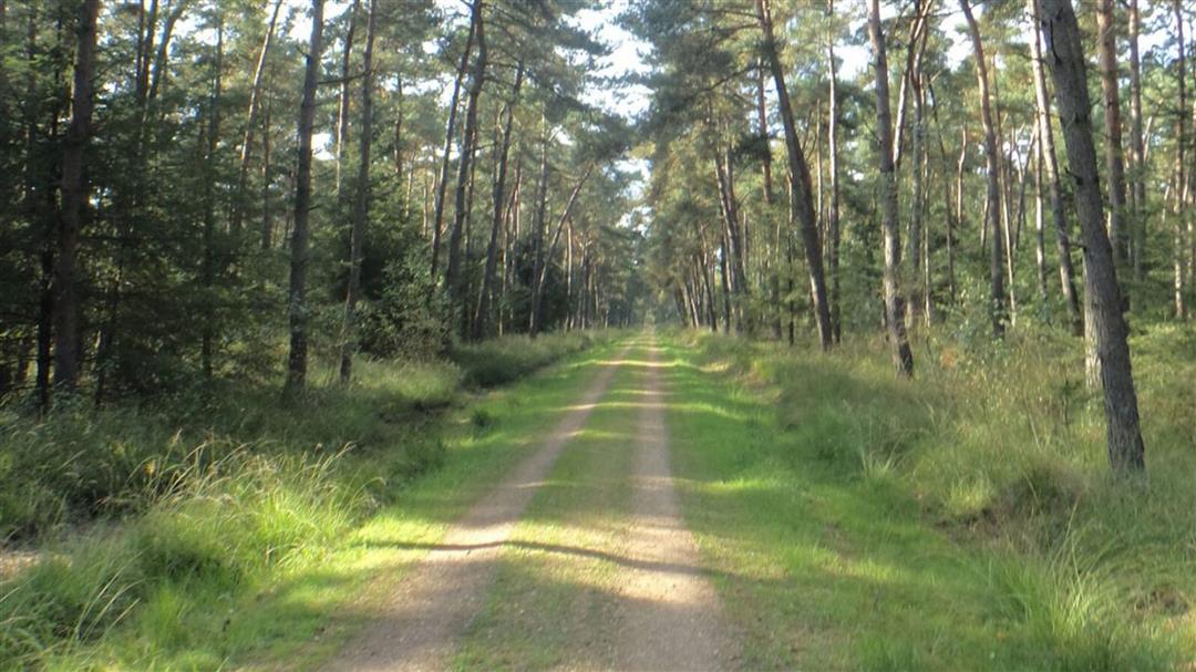
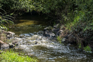
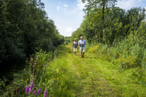
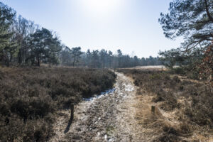
In the Hoge Vijvers forest, you can easily recharge your batteries. You will enjoy the relaxing tranquility, wide panoramic views and a wonderful piece of nature. If you get thirsty after the walk, you can visit Talander's teahouse for a local beer, juice, a cup of tea and delicious homemade pastries.This route is offered by Toerisme Provincie Antwerpen.
automatic translation
 nodes to follow
0 km
2.2 km
2.7 km
2.7 km
3.3 km
4.8 km
5.4 km
5.7 km
7.7 km
8.1 km
10.9 km
Friday, May 8, 2026 by Mark Van Der VloetWhat a beautiful walk. I really enjoyed the variety of trails, the heathland, the woods, and the countryside. This one is definitely going on my list of favorites. I had a wonderful time—thank you!
automatic translation
Tuesday, August 6, 2024 by L.D.Beautiful walk! Between KP 1 and 2 and between KP 97 and 10 it was flooded today! Even with knee boots no way to start. Made a path around it myself but not obvious. If it is so flooded, not worth repeating. Beautiful teahouse at the end of the hike. Tip: check opening hours (Sunday to Thursday between 14 and 17h).
automatic translation
Tuesday, April 27, 2021 by K.H.Beautiful hike on unpaved trails .
automatic translation


 Upgrade to Premium Plus
