 Hiking
 Login
Login
 More
More
 EN
EN
 Premium
Nature Trail
automatic translation
9.1 km • Arendonk
3.2077 3 4/5
route offered by
Toerisme Provincie Antwerpen
 Addresse starting point (approximate)
Park Deroissart 1, 2370 Arendonk
 signage
The route is fully signposted with nodes.
 Description
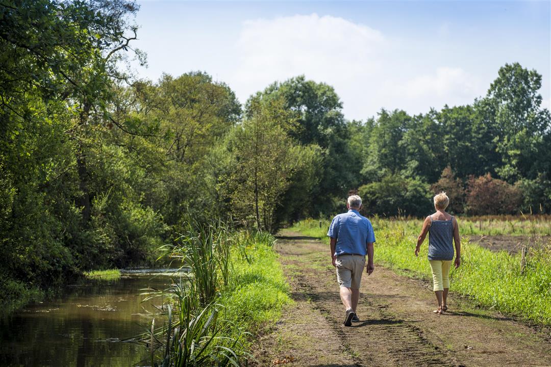
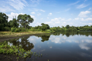
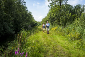
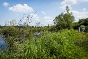
The Nature Trail meanders you leisurely along the Wamp in Arendonk. Enjoy all the life that this whimsical piece of green accommodates. Along the way, the boardwalk leads you across a wetland.This route is offered by Tourism Province of Antwerp.
Not suitable for wheelchair users and baby carriages
Rectangular red and white signs with numbers
automatic translation
 nodes to follow
0 km
0.4 km
0.6 km
0.8 km
0.9 km
1 km
1.3 km
1.5 km
2.6 km
3.2 km
3.7 km
4.5 km
5.3 km
5.5 km
6.5 km
6.9 km
7.9 km
8.2 km
8.7 km
8.9 km
9.3 km
9.4 km
Sunday, August 17, 2025 by Tanguy Van der Gucht beautiful route through nature
automatic translation
Monday, October 28, 2024 by L.B.Beautiful route through nature indeed. Even in current soggy conditions no significant problems encountered. Tip for camper owners: near the starting point also some free camper places in parking lot of the swimming pool where you may park for 48h.
automatic translation
Monday, May 10, 2021 by bert rouckhoutthe first one and a half km you have to go through the center which does not disturb in itself but then you come into the full nature where it is very beautiful beautiful creeks and lakes even a watchtower and a hut where you can watch birds back along small roads to church where many terasjes are shortened delicious wandelijg
automatic translation


 Upgrade to Premium Plus
