 Hiking
 Login
Login
 More
More
 EN
EN
 Premium
Kalmthoutse Heide border park
automatic translation
8.7 km • Kalmthout
5.3111 4 1.8/5
route offered by
Toerisme Provincie Antwerpen
 Addresse starting point (approximate)
Putsesteenweg 129, 2920 Kalmthout
 signage
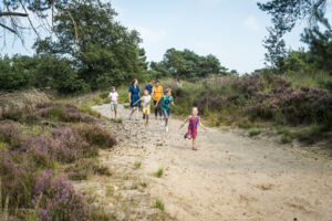
The route is fully signposted with nodes.
 Description
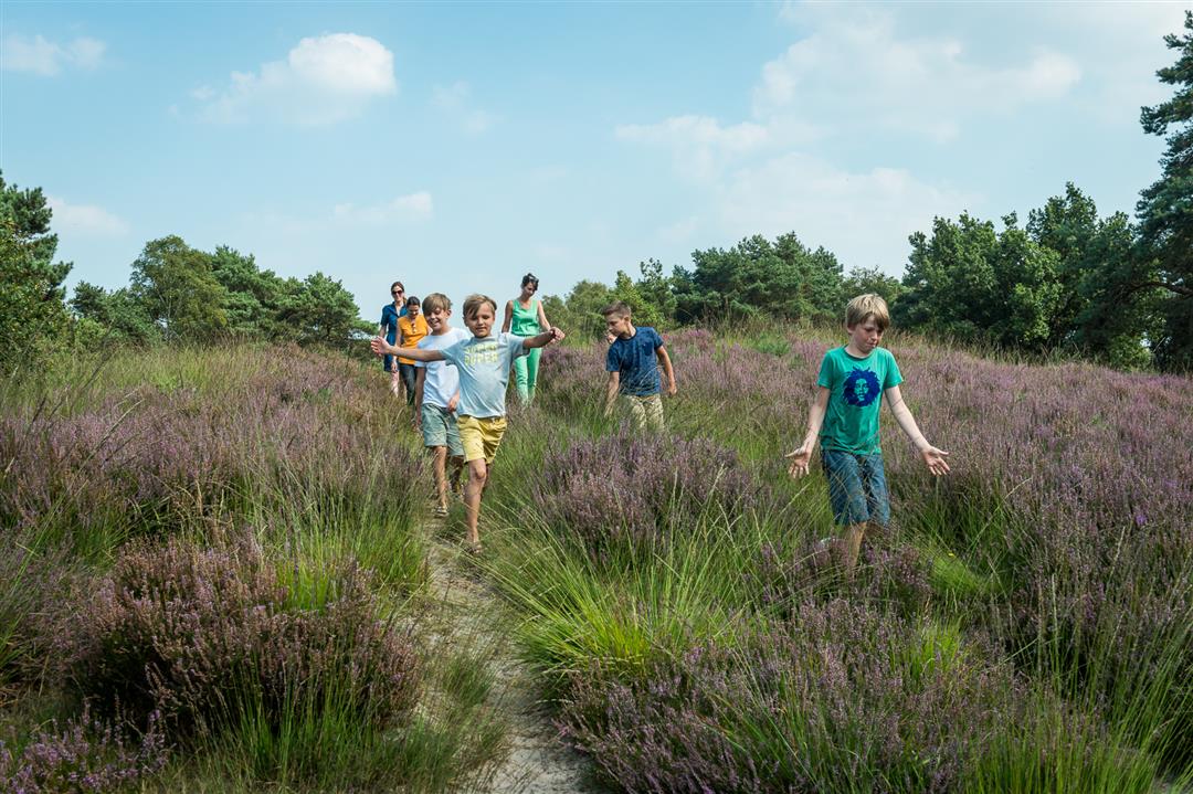
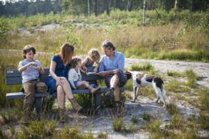
The alternation of heathland, fens, dunes and forests creates a fantastic landscape in nature reserve the Kalmthoutse Heide. You will find many rare plants and animals. In August and September, when the heather turns purple, everything looks extra beautiful. You will discover it thanks to numerous marked trails.
This walk is a suggestion loop on the Kempense Heide hiking junction map.
automatic translation
 nodes to follow
0 km
0.2 km
0.2 km
2 km
3.5 km
6.2 km
7 km
8.3 km
8.3 km
8.5 km
Thursday, June 27, 2024 by W.L.Not accessible with dogs!!!
automatic translation
Sunday, May 19, 2024 by Werner De RouckDidn't have any problem with the signage. Had uploaded the gpx file based on the previous review but it was not necessary at all. However, after several days of rain, waterproof footwear is an absolute must and especially between nodes 14 and 15 it gets particularly 'adventurous' at times. A beautiful walk in the moors with lots of variety.
automatic translation
Sunday, April 25, 2021 by Kim EngelenSo instead of walking a route of 8.6km I walked a route that was much longer. I started at 1:30 p.m. and didn't get back to the parking lot until 6 p.m., and then I had to hike a long way back along the same route, so if you want to hike here I recommend following the site of the heath itself.
automatic translation
Sunday, April 25, 2021 by Kim EngelenYesterday I went to follow the hiking node route indicated here in the heathland, but at a certain point you can't find point 27 and 99 at all. Once at home I looked at the site of the heath itself and it appears that the nodes here are no longer up to date, according to the site of the heath the walking routes are indicated with animal signs.
automatic translation


 Upgrade to Premium Plus
