 Hiking
 Login
Login
 More
More
 EN
EN
 Premium
Wormer Path
automatic translation
6.1 km • Zemst
1.9960 1 5/5
6.1 km
0.0 km
0.0 km
route offered by
Toerisme Zemst
 Addresse starting point (approximate)
Hoogstraat 204, 1980 Zemst
 signage
The route is not signposted. Use a GPS device or our app to follow the route.
© VVV Toerisme Zemst
 Description
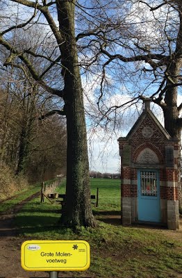
Pepermansvoetweg: 'Sentier 68 Pepermansvoetweg' or 'du Spiltstraet au Boschdrieschstraet'. The last section to the Bosstraat was shifted in February 2020.
This beautiful slow road loop consists of 53% slow roads and measures 6.1 km in nature.
automatic translation


 Upgrade to Premium Plus
