 Hiking
 Login
Login
 More
More
 EN
EN
 Premium
Vriezenbroekpad
automatic translation
9.4 km • Zemst
2.8212 1 3/5
route offered by
Toerisme Zemst
 Addresse starting point (approximate)
Zandstraat 3, 1981 Hofstade
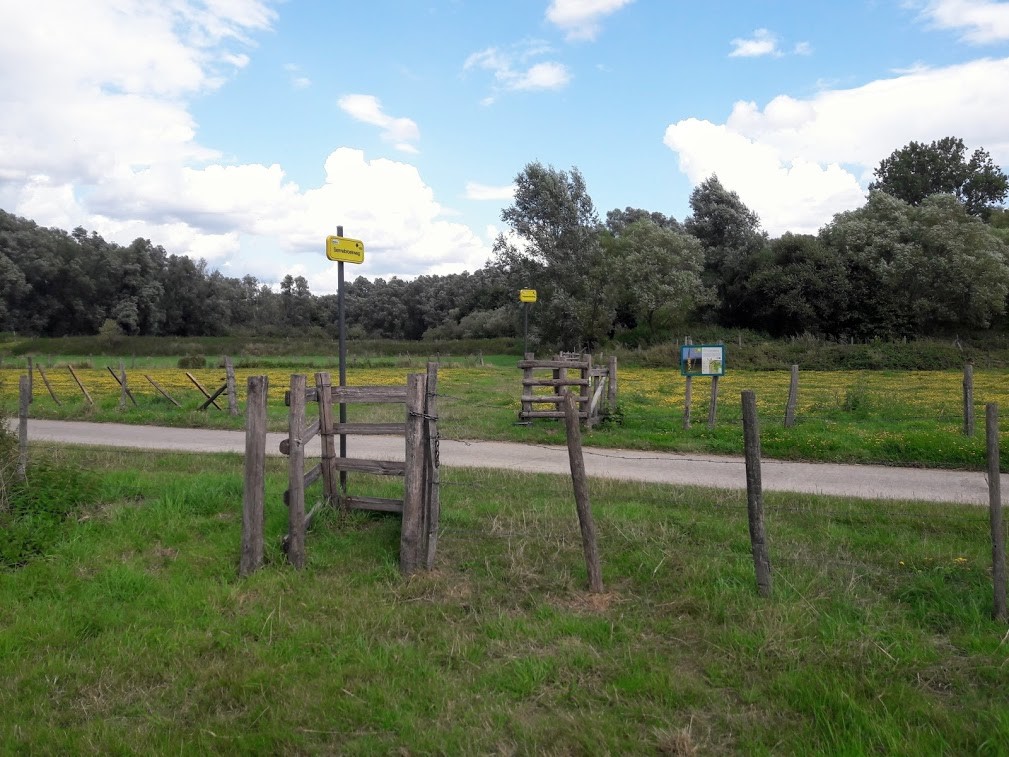
 signage
The route is not signposted. Use a GPS device or our app to follow the route.
 Description
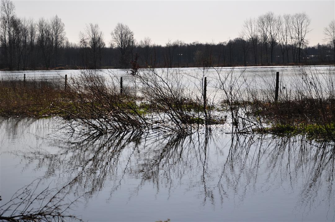
The Vriezenbroek in Zemst lies between the Zenne and Barebeek rivers. The Broekstraat separates the nature reserve into two parts. Meadows are interspersed with forest areas, consisting mainly of willow species.
The nature reserve is a succession of meadows and deciduous forests. The forest consists mainly of willow, birch and some oaks.The fauna, as in many Flemish forests, consists of pheasants, rabbits, foxes and deer. Buzzards and kestrels can be found in the airspace. Several pools have been created in which frogs and salamanders are found.
This slow road loop consists of 64% slow roads and measures 9.2 km in nature.
automatic translation


 Upgrade to Premium Plus
