 Hiking
 Login
Login
 More
More
 EN
EN
 Premium
Schompad
automatic translation
7.6 km • Zemst
1.7811 1 4/5
7.6 km
0.0 km
0.0 km
route offered by
Toerisme Zemst
 Addresse starting point (approximate)
Brusselsesteenweg 3A, 1980 Zemst
 signage
The route is not signposted. Use a GPS device or our app to follow the route.
© VVV Toerisme Zemst
 Description
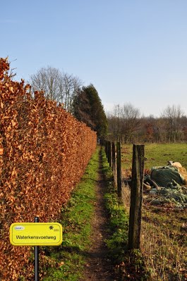
Waterkensvoetweg: against the Zennedijk, a stately rebuilt farmhouse originally built in 1660 and dependent on Releghem Castle. Past the hedge again up the Zennedijk and you can then see, on the right bank, the remains of a concrete staircase. That staircase is one of the remains of a ford used by local residents and farmers at low tide to make their way to the other bank.
This slow road loop consists of 57% slow roads and measures 7.6 km in nature.
automatic translation


 Upgrade to Premium Plus
