 Hiking
 Login
Login
 More
More
 EN
EN
 Premium
Haverenblokpad
automatic translation
8.8 km • Zemst
1.2652 2 4/5
route offered by
Toerisme Zemst
 Addresse starting point (approximate)
Heusstraat 7, 1980 Zemst
 signage
The route is not signposted. Use a GPS device or our app to follow the route.
 Description
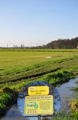
Haverenblok: 'Chemin 23 Haverenblockstraet' or 'Chemin d'Eppeghem à Humbeeck'. This 'Chemin 23 Haverenblockstraet' originally, and still does, dead-end at the 'Kattemeuterbos' and the 'Groenveld' in Grimbergen.
The route consists of 66% slow roads and measures 8.8 km in nature.
automatic translation
Sunday, February 8, 2026 by Karlien Van WonterghemA pleasant walk with many beautiful views.
You will pass through an industrial area to reach the next beautiful section.
Please note: at least half of this walk is on unpaved terrain. Good walking shoes are essential, especially if it has rained in the period leading up to the walk.
automatic translation
Thursday, July 22, 2021 by O.J.Beautiful walk.
automatic translation


 Upgrade to Premium Plus
