 Hiking
 Login
Login
 More
More
 EN
EN
 Premium
Gulderijpad
automatic translation
8.1 km • Zemst
1.6883 1 3/5
8.1 km
0.0 km
0.0 km
route offered by
Toerisme Zemst
 Addresse starting point (approximate)
Brusselsesteenweg 3A, 1980 Zemst
 signage
The route is not signposted. Use a GPS device or our app to follow the route.
© VVV Toerisme Zemst
 Description
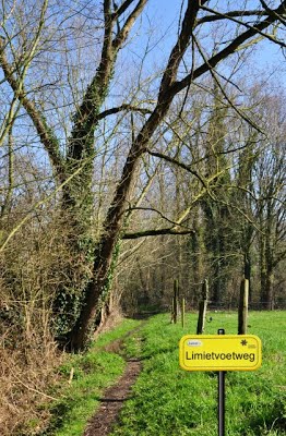
Nice tragen road loop that passes by the GC De Melkerij in Zemst and the Gulderij (a very old residential area, which, however, suffered due to the elevation of the railroad line in 1909, resulting in the disappearance of a number of houses. At the railroad bridge was once the only stopping place the former municipality of Zemst ever had).
The route consists of 63% slow roads and measures 8.1 km in nature.
automatic translation


 Upgrade to Premium Plus
