 Hiking
 Login
Login
 More
More
 EN
EN
 Premium
Between Dender and Mark silence walking trail
automatic translation
12.6 km • Geraardsbergen
 official route
5.8475 5 3/5
 Addresse starting point (approximate)
Nieuwenhovestraat 21, 9506 Geraardsbergen
 signage
The route is fully signposted with nodes.
 Description
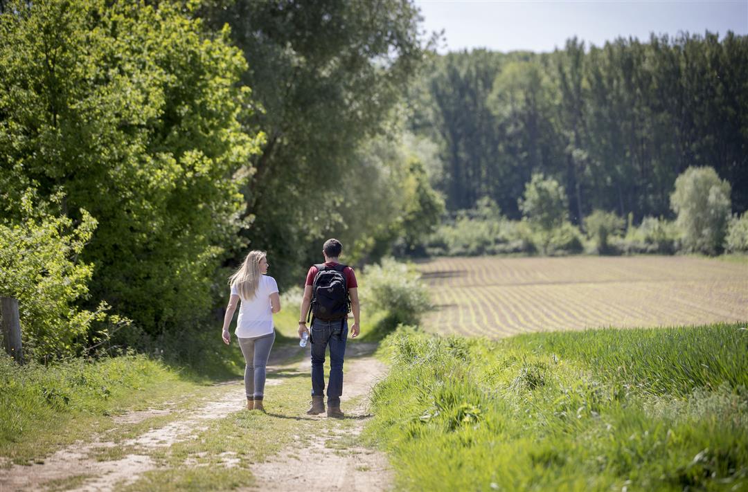
Depart from the village of Nieuwenhove (part municipality of Geraardsbergen), for a walk in the sloping landscape and through the Dender-Mark silence area.
The Between Dender and Mark hiking trail is offered by Routen, an initiative of Tourism East Flanders.
automatic translation
 nodes to follow
0 km
0.1 km
0.5 km
1 km
2 km
2.6 km
4.1 km
4.6 km
5.1 km
5.4 km
6.3 km
7.3 km
8.4 km
8.8 km
10.3 km
12.1 km
12.1 km
12.3 km
12.6 km
Saturday, May 14, 2022 by A.T.Beautiful, pleasant hike in beautiful scenery. Definitely recommended to do this one in May when the Dotterflowers compete with the Whistlewort. However, the enjoyment really begins from KNP 52. Before it, it is literally walking out of the village along the street, this may be a downside. Afterwards, only "happy moments." Recommended.
automatic translation
Saturday, April 17, 2021 by A.D.I also had this problem,but if you type in "Nieuwenhove " as the starting municipality, it is correct!
automatic translation
Wednesday, March 3, 2021 by Karine Van campenhoutI am trying to plan this route but something is wrong with the nodes. I am walking back and forth with this description. Does anyone know any advice ?
automatic translation
Sunday, February 16, 2025 by E.V.Something is indeed wrong with the nodes. After node 56, you have to go to node 58 before you can go to 51.
automatic translation
Tuesday, February 23, 2021 by Willy De Regge-Heysenice, quiet hiking trail, lots of field trails with occasional car-free concrete road. Narrow to go through in places though. All in all a pleasant hike.
automatic translation
Sunday, February 21, 2021 by R.V.Did this hike yesterday, Saturday 20/2/2021. It is a nice to very nice hiking loop with ascents and descents, but not too extreme. Lots of mud in places though. Not hikeable with strollers because of some field and very narrow passages. Few or no rest benches.
automatic translation


 Upgrade to Premium Plus
