 Hiking
 Login
Login
 More
More
 EN
EN
 Premium
Wippendriepad
automatic translation
8 km • Zemst
1.8443 1 3/5
8 km
0.0 km
0.0 km
route offered by
Toerisme Zemst
 Addresse starting point (approximate)
Victor Servanckxstraat 1, 1982 Elewijt
 signage
The route is not signposted. Use a GPS device or our app to follow the route.
© VVV Toerisme Zemst
 Description
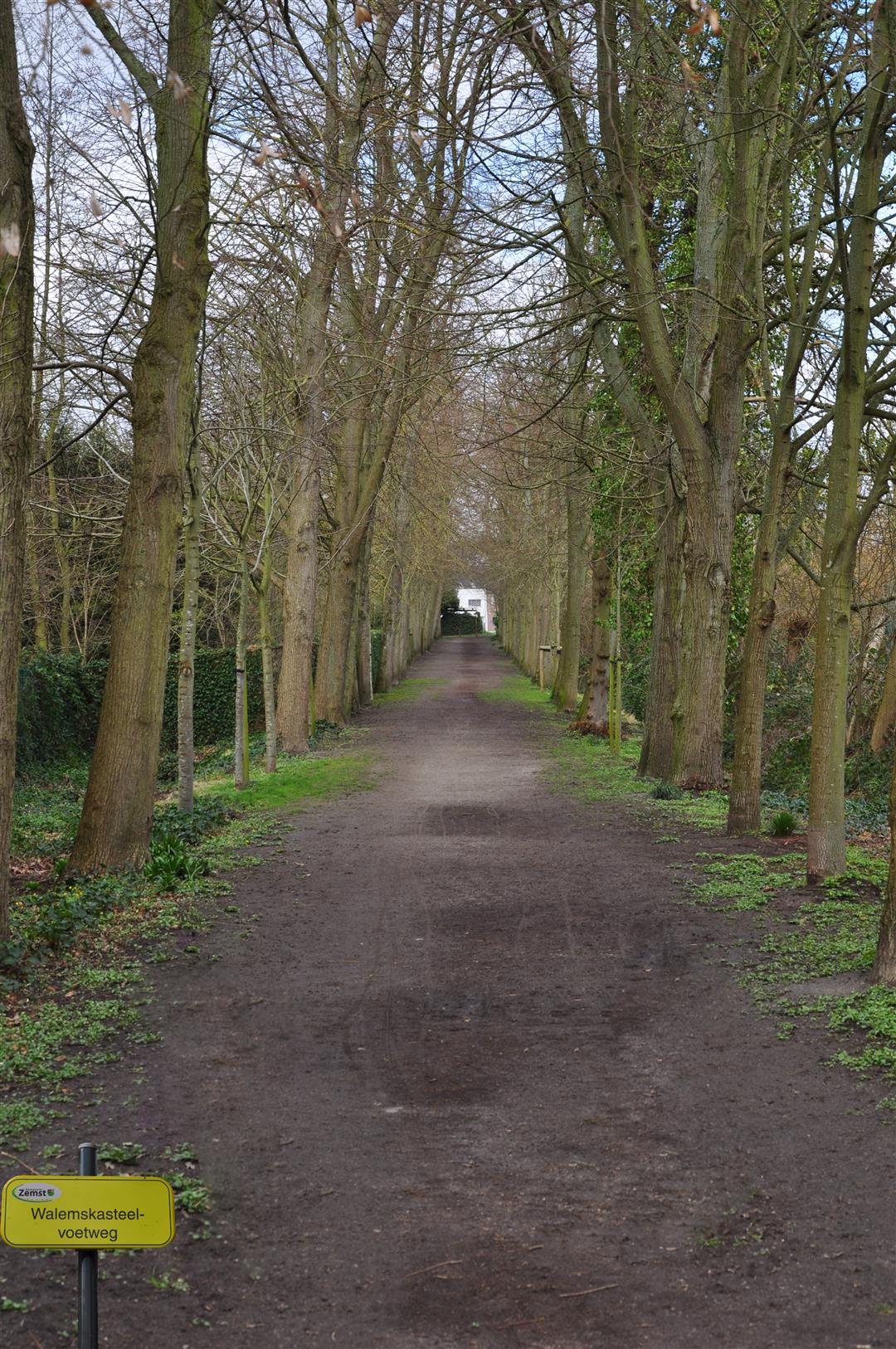
The Walemskasteelvoetweg runs along the, due to war damage in WWI, now disappeared castle of "Ter Borgh"; in the 17th century a beautiful water castle surrounded by French gardens.
This beautiful slow road loop consists of 56% slow roads and 8 km in nature.
automatic translation


 Upgrade to Premium Plus
