 Hiking
 Login
Login More
More EN
EN Premium
Master Craps Walk
automatic translation
9.6 km • Zaventem
 official route
route offered by
 Addresse starting point (approximate)
Sint-Pancratiuskerk, Kerkdries, 1933 Sterrebeek (Zaventem)
 signage
The route is signposted with thematic signs (no nodes). You can use a GPS device or our app to follow the route through the virtual nodes.
 Description
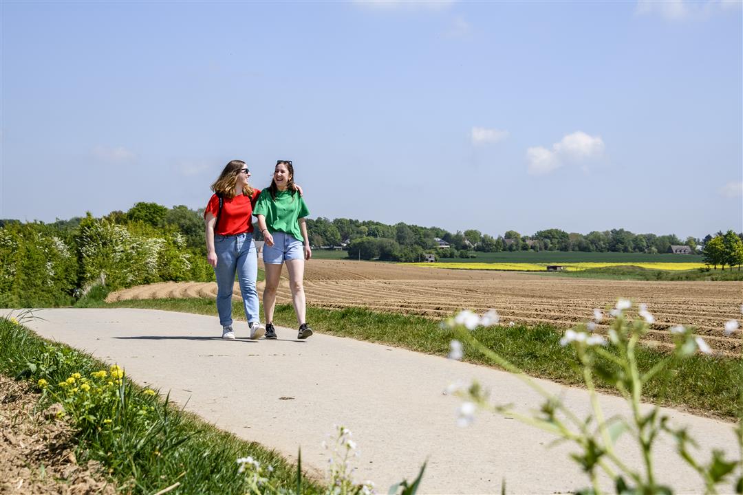
This hike starts at the St. Pancratius Church in Sterrebeek. Get to know the plateau of Moorsel, a surprising piece of open space, with beautiful views and some hollow roads. You walk along the historic horse track of Sterrebeek, now a golf course.
NOTE: This is a walk on a virtual hiking network. The nodes are not signposted on the property. Follow the 6-sided red and white signs with the name of the hike.
This hike is offered by Tourism Flemish Brabant.
automatic translation
 nodes to follow
0 km
2.3 km
2.6 km
4.3 km
4.8 km
4.8 km
5.8 km
7 km
7.4 km
8.5 km
9.6 km
Saturday, April 17, 2021 by M.V.Nice route. Two pictures that are not so clear where it goes, but still found the right way. One piece is really difficult to walk when it's wet, between the fields it was really a mudpool that was difficult to access. It's not a big piece and the rest is pleasant to walk.
automatic translation
Sunday, March 7, 2021 by Michel VMSurprisingly beautiful walk in the countryside between Sterrebeek and Moorsel. A good alternation of paved and unpaved .Also passed a part along beautiful houses .
automatic translation
Tuesday, January 26, 2021 by Maurice CrabbeNice walk starting from the center of Sterrebeek towards Moorsel through the fields. Good ground surface and beautiful views.
automatic translation


 Upgrade to Premium Plus
