
 Hiking
 Login
Login
 More
More
 EN
EN
 Premium
Moorsemwandeling
10 km • Begijnendijk
 official route
3.9761 1 3/5
route offered by

 Addresse starting point (approximate)
Sportcentrum "De Tumkens", Pastoor Pitetlaan 30, 3130 Betekom (Begijnendijk)
 signage
The route is signposted with thematic signs (no nodes). You can use a GPS device or our app to follow the route through the virtual nodes.
 Description
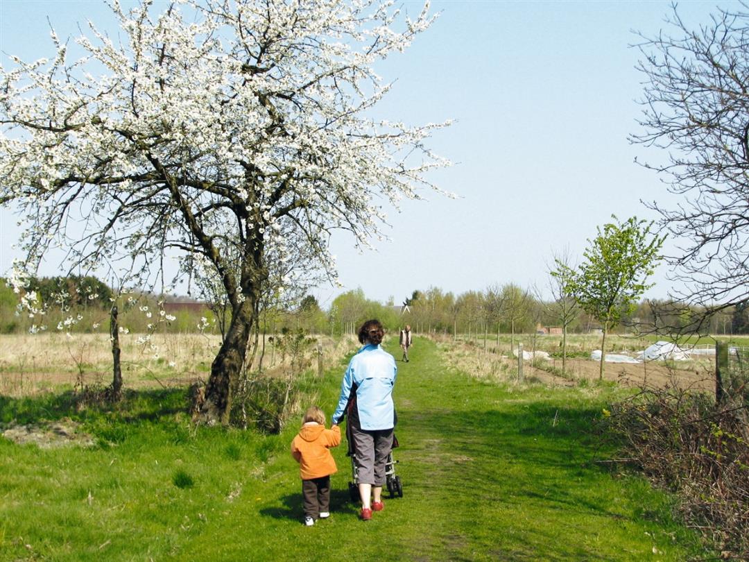
In the center of Betekom, you’ll walk past the home of Professor Scharpé, a leading advocate of the Flemish emancipation movement who taught Ernest Claes, among others. You’ll climb the Molenberg, at the top of which stands the remains of the 16th-century tower mill, beautifully restored as a lookout tower. Following the former Mechelen-Aarschot tram line, you’ll reach the “Grotteke,” an open-air pilgrimage site, and then the beautiful Meetshovenbos.
Before you set out: This is a walk on a virtual walking network. The junctions are not marked on the ground. Follow the hexagonal red-and-white signs bearing the name of the walk.
automatic translation
 nodes to follow
0 km
0.3 km
2.2 km
3.8 km
6.2 km
6.4 km
7.5 km
9.7 km
10 km



 Upgrade to Premium Plus


