 Hiking
 Login
Login More
More EN
EN Premium
Hillside Walk
automatic translation
9.1 km • Kortenberg
 official route
1.5570 5 4/5
route offered by
 Addresse starting point (approximate)
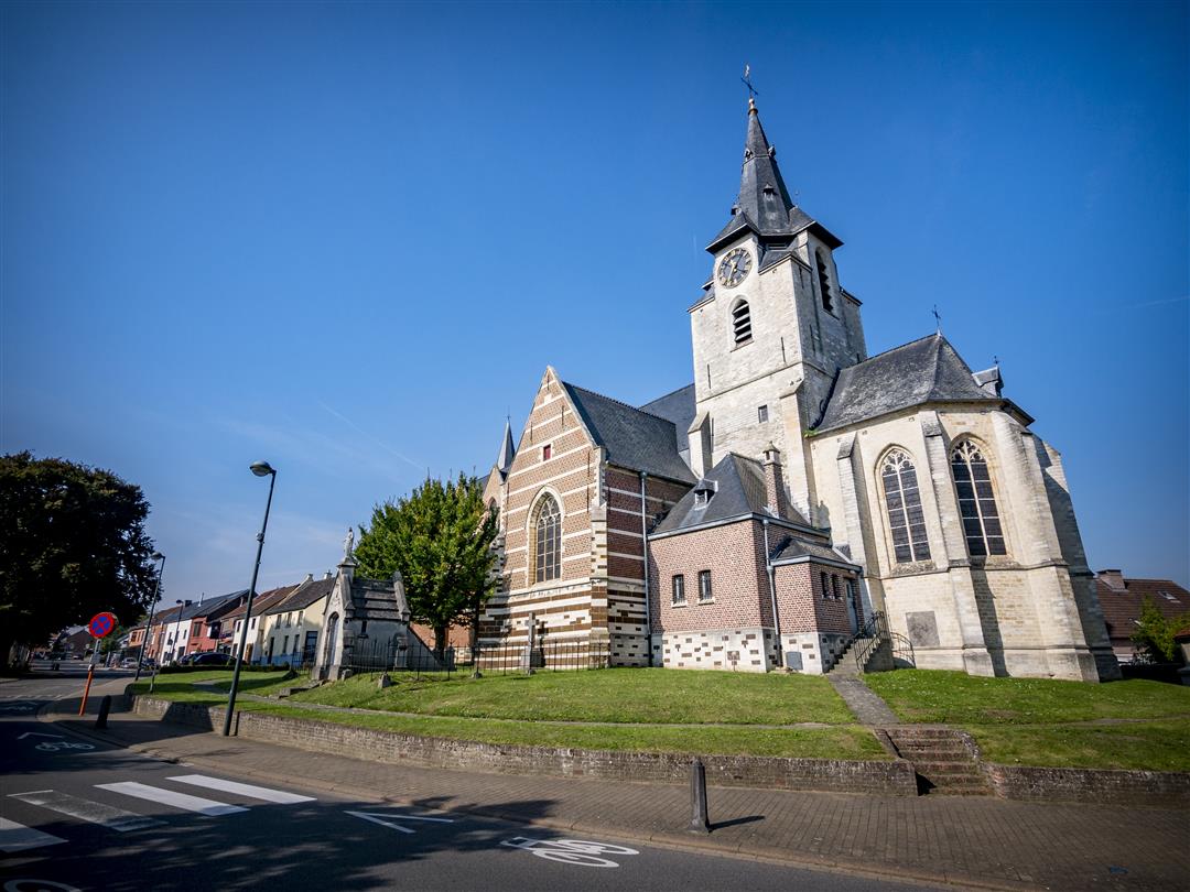
Sint-Antoniuskerk, Alfons Dewitstraat, , 3078 Meerbeek (Kortenberg)
 signage
The route is not signposted. Use a GPS device or our app to follow the route through the virtual nodes.
 Description
Depart for this hike at St. Anthony's Church, the oldest church in the community. Climb to the highest point of the hike and enjoy the 360° view from the Heerbaan. Play and picnic spot 't Vossenhol invites you to take a break. Continue your hike through the Eikenbos and nature reserve Rotte Gaten. Finish at the stately presbytery, commissioned by Affligem Abbey, which was the most beautiful building in the community in the 19th century.
NOTE: This is a walk on a virtual walking network. The nodes are not signposted on the property. Follow the 6-sided red and white signs with the name of the hike.
This hike is offered by Tourism Flemish Brabant.
automatic translation
 nodes to follow
0 km
0.1 km
1.1 km
2.1 km
3.5 km
3.9 km
4 km
4.6 km
5.4 km
6.9 km
7.2 km
7.7 km
8.5 km
9.1 km
Friday, September 24, 2021 by Eric RoliesWe don't quite understand the up and coming positive responses to this hike. Start and end of the hike along busy lanes and residential areas. Along the way we passed many neighbourhood roads but those are not used ? In between there are indeed nice stretches with nice views.
automatic translation
Thursday, August 19, 2021 by Tamara NoelNice walk with pleasant variation between asphalt roads among greenery and fields and forest roads with beautiful views. Enjoyment.
automatic translation
Friday, May 21, 2021 by H.W.Still nice walk , beautiful views with large fields of rapeseed , noise from the highway is present for much of the walk though .
automatic translation
Sunday, February 28, 2021 by W.M.Topper. Highly recommended across the board. 9.5 km of enjoying the surroundings.
automatic translation
Sunday, February 14, 2021 by J.D.Superb hike, especially in sunny winter weather. Wide views of the snow-covered hills.
automatic translation


 Upgrade to Premium Plus
