
 Hiking
 Login
Login
 More
More
 EN
EN
 Premium
Vuurvlinderwandeling
8.4 km • Begijnendijk
 official route
4.04810 3 2/5
route offered by

 Addresse starting point (approximate)
Sint-Luciakerk, Kerkplein, 3130 Begijnendijk
 signage
The route is signposted with thematic signs (no nodes). You can use a GPS device or our app to follow the route through the virtual nodes.
 Description
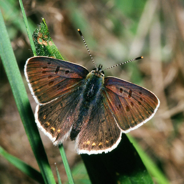
The extremely rare brown fritillary butterfly is found in only a limited number of places in Flanders, and Begijnendijk is one of them. This walk takes you through the small but beautiful nature reserves of De Raam and Papendel, where this little creature feels right at home. You’ll also walk through the Bieheidebos, one of the last remaining patches of forest in the village, which has been transformed into a recreational forest featuring a fun “hands-on nature trail.”
Before you set out: This is a walk on a virtual hiking network. The junctions are not marked on the ground. Follow the hexagonal red-and-white signs bearing the name of the walk.
automatic translation
 nodes to follow
0 km
0.4 km
1.1 km
1.5 km
3.8 km
3.8 km
3.8 km
5.1 km
5.3 km
6.8 km
6.9 km
7.4 km
7.8 km
8.4 km
Wednesday, October 15, 2025 by Leslie CluytsThe least hike that I have already done. Setback. Way too much along the stone road.
automatic translation
Tuesday, March 29, 2022 by N.O.Still, a slight disappointment. The hike could have been more in greenery and less along paved roads. Sometimes the signs were unclear or disappeared.
automatic translation
Monday, February 1, 2021 by Koen Van Looywalk goes a lot on secondary and regional roads where often no footpath is present. dangerous for children. only a few beautiful pieces of nature. with me, not recommended.
automatic translation



 Upgrade to Premium Plus


