 Hiking
 Login
Login More
More EN
EN Premium
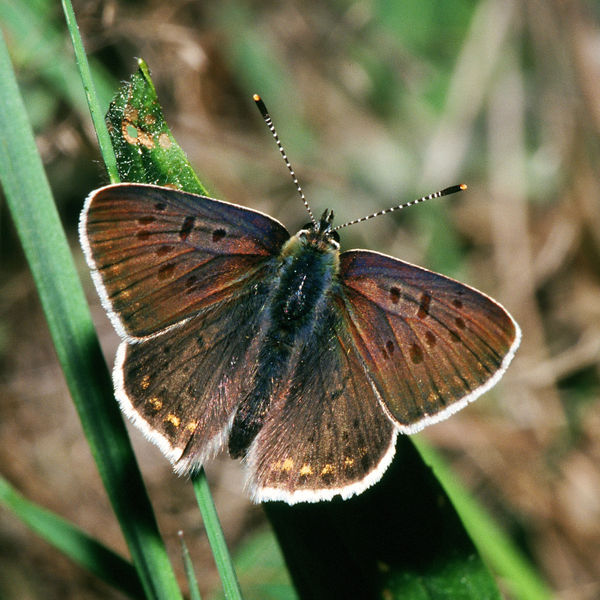
Firefly Walk
automatic translation
8.2 km • Begijnendijk
 official route
route offered by
 Addresse starting point (approximate)
Sint-Luciakerk, Kerkplein, 3130 Begijnendijk
 signage
The route is fully signposted with thematic signs (no nodes).
 Description
During this walk, you start at the Sint-Lucia church in Begijnendijk.
Discover the beautiful natural areas of the Raam and Papendel and enjoy the recreational forest Bieheide, where a 'do-errer-leerpad' introduces you more extensively to the world of the forest.
This walk is offered by Tourism Flemish Brabant.
automatic translation
Tuesday, March 29, 2022 by N.O.Still, a slight disappointment. The hike could have been more in greenery and less along paved roads. Sometimes the signs were unclear or disappeared.
automatic translation
Monday, February 1, 2021 by Koen Van Looywalk goes a lot on secondary and regional roads where often no footpath is present. dangerous for children. only a few beautiful pieces of nature. with me, not recommended.
automatic translation


 Upgrade to Premium Plus
