
 Hiking
 Login
Login
 More
More
 EN
EN
 Premium
Kloeseboswandeling - Red
11.6 km • Aarschot
 official route
5.0126 4 4.1/5
route offered by

 Addresse starting point (approximate)
De Moedermeule, Hondsheuvel 3, 3200 Gelrode (Aarschot)
 signage
The route is fully signposted with nodes.
 Description
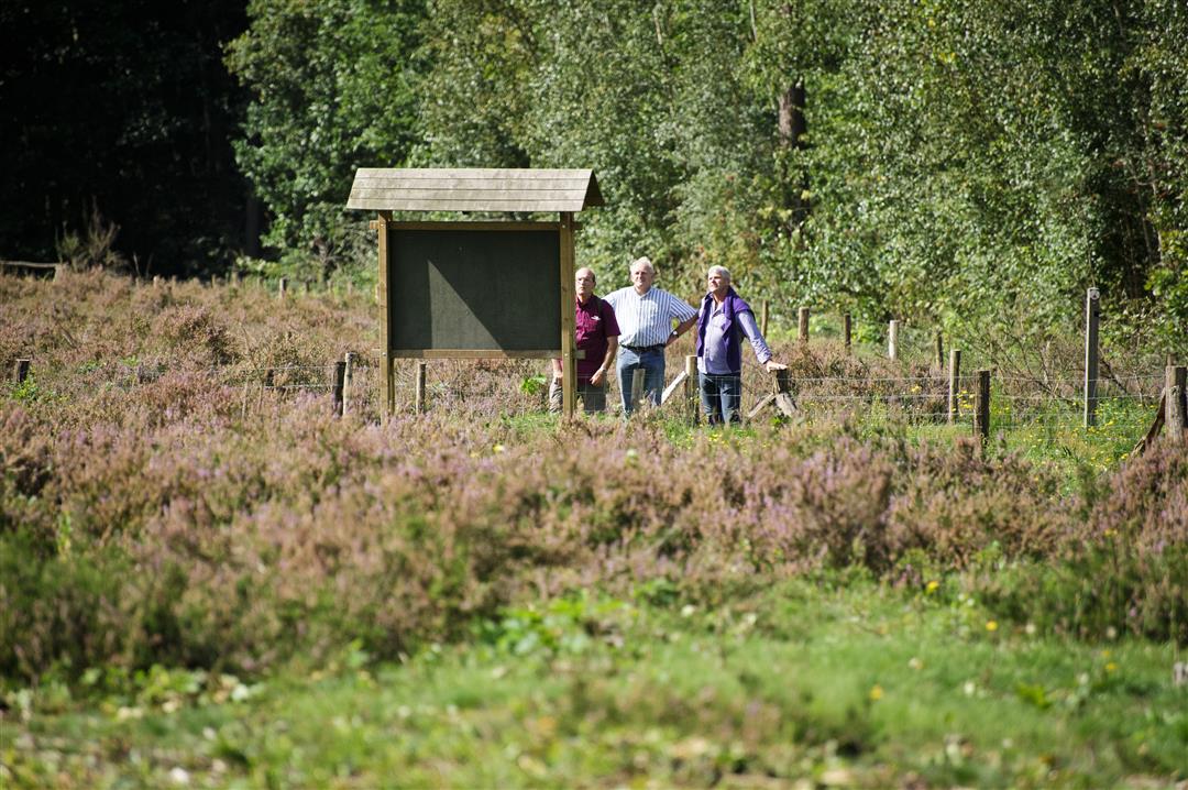
A challenging hike through the countryside over the Eikelberg to the Kloesebos. You’ll explore the Hondsheuvel, where you might still catch a glimpse of the peach orchards for which this region was once famous. Vineyards and fruit orchards, on the other hand, abound on the Wijngaardberg. The Moedermeule is an authentic grain mill dating from 1667 that originally stood in Mechelen but was rebuilt here, stone by stone and plank by plank.
Before you set out: Follow the junction markers of the Hageland Hills and Valleys Hiking Network or the signs with a red triangle.
automatic translation
 nodes to follow
0 km
1.2 km
2.2 km
2.4 km
3.6 km
3.8 km
5.5 km
6 km
6.4 km
7.4 km
7.4 km
9.1 km
9.5 km
10.6 km
11.4 km
11.6 km
Monday, April 13, 2026 by Johan GeensA beautiful (though quite challenging) hike. We already knew the area pretty well, but still discovered some new spots. We added a bit of our own route via junctions 63, 61, and 64 to 74. Total: 13.8 km. Near the end, we got to enjoy the Bloesembar, which is held every April. A nice way to wrap things up with some snacks and drinks.
automatic translation
Sunday, May 21, 2023 by Tony MintenI regularly do the route while walking. If it has been a bit wet, best to put on some coarse shoes (or trail shoes). You'll encounter some muddy bits, which makes the run a bit more challenging. Perfectly signposted!
automatic translation
Monday, April 10, 2023 by P.P.Like the longer version: highly recommended! Perfectly marked, varied, beautiful, without too much concrete.
automatic translation
Saturday, March 6, 2021 by Patrick ScheerdykWe did the 9km red walk. Too much on concrete (which you had to share with racing cyclists and cars). Only the last part through the green could really charm us. Trail well marked.
automatic translation



 Upgrade to Premium Plus


