 Hiking
 Login
Login More
More EN
EN Premium
Kloesebos walk - Red
automatic translation
11.6 km • Aarschot
 official route
route offered by
 Addresse starting point (approximate)
De Moedermeule, Hondsheuvel 3, 3200 Gelrode (Aarschot)
 signage
The route is fully signposted with nodes.
 Description
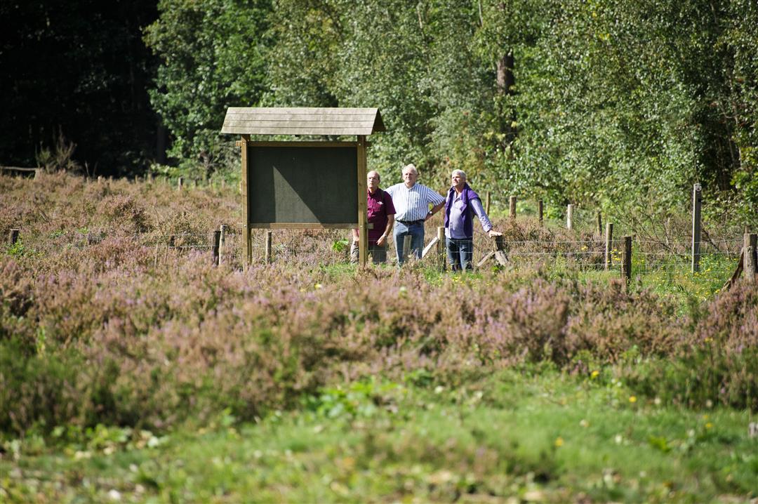
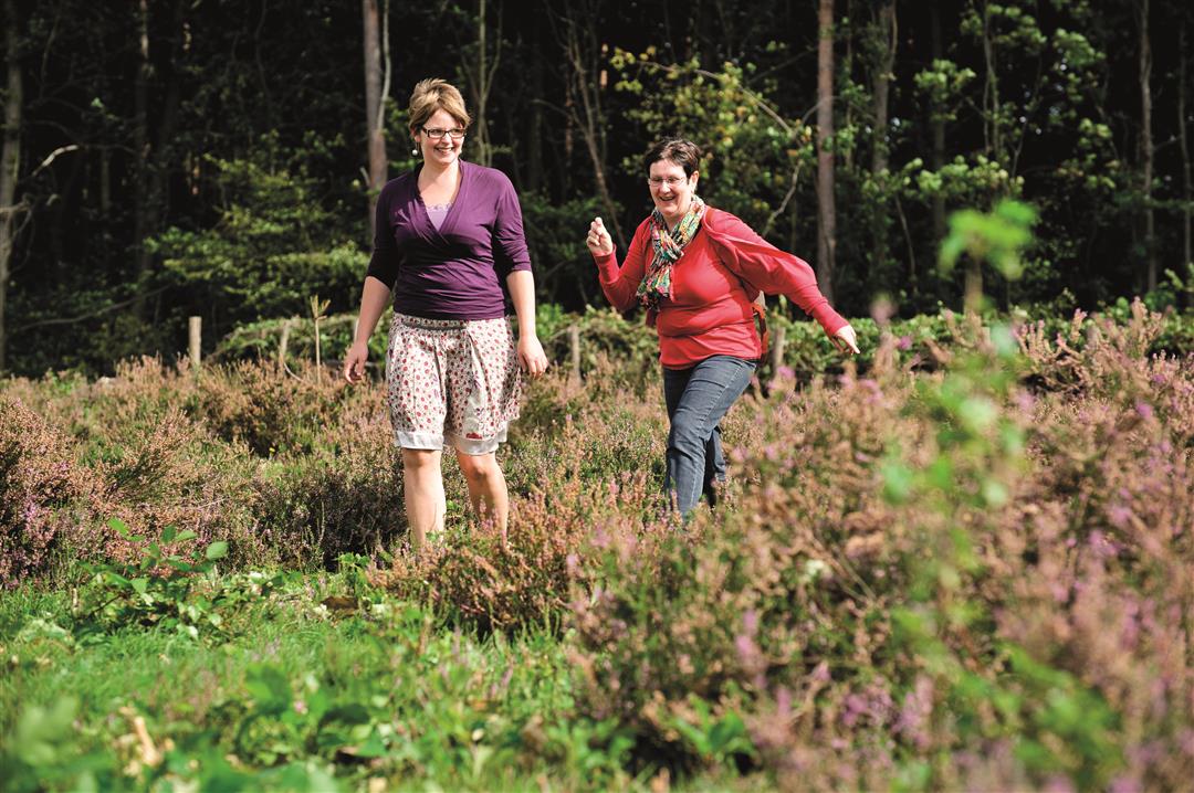
The landscape walk Kloesebos starts in the village of Gelrode and takes you over some Hageland hills. To explore this piece of Hageland, you start at the Moedermeule where you can taste delicious regional products. This hiking loop takes you past typical peach orchards, ironstone hills and the Kloesebos play forest.
Follow the nodes of the Walking Network Hageland Hills and Valleys or the red triangle signposting.
This walk is offered by Tourism Flemish Brabant.
automatic translation
 nodes to follow
0 km
1.2 km
2.2 km
2.4 km
3.6 km
3.8 km
5.5 km
6 km
6.4 km
7.4 km
7.4 km
9.1 km
9.5 km
10.6 km
11.4 km
11.6 km
Sunday, May 21, 2023 by Tony MintenI regularly do the route while walking. If it has been a bit wet, best to put on some coarse shoes (or trail shoes). You'll encounter some muddy bits, which makes the run a bit more challenging. Perfectly signposted!
automatic translation
Monday, April 10, 2023 by P.P.Like the longer version: highly recommended! Perfectly marked, varied, beautiful, without too much concrete.
automatic translation
Saturday, March 6, 2021 by Patrick ScheerdykWe did the 9km red walk. Too much on concrete (which you had to share with racing cyclists and cars). Only the last part through the green could really charm us. Trail well marked.
automatic translation


 Upgrade to Premium Plus
