 Hiking
 Login
Login More
More EN
EN Premium
Hageland Valley Walk - Red
automatic translation
9.9 km • Holsbeek
 official route
route offered by
 Addresse starting point (approximate)
Sint-Mauruskerk, Gebr. Van Tiltstraat 1, 3220 Holsbeek
 signage
The route is fully signposted with nodes.
 Description
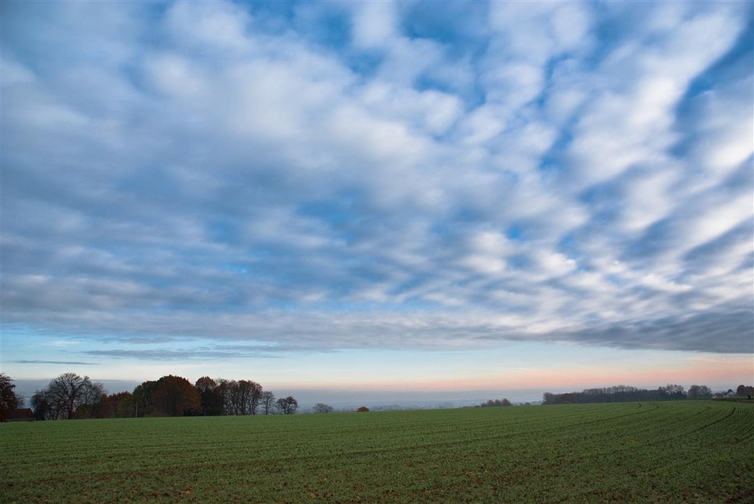
Go on a hike in the wide valley of the Winge, which together with the nature reserves Kloosterbroekbos and Horst form the Hageland Valley. And discover the wide variety of plants, insects, birds and mammals. Fraternize with the herd of fox-headed sheep that do the grassland management and spot hawks, polecats, kingfishers or deer, as they like to thrive in this landscape.
The walk is signposted in two directions with red triangle.
This walk is offered by Tourism Flemish Brabant.
automatic translation
 nodes to follow
0 km
0.2 km
0.2 km
1.1 km
1.3 km
2.2 km
2.8 km
2.9 km
3.9 km
4.4 km
5.6 km
7 km
7.5 km
8.7 km
9 km
9.8 km
9.9 km
10.1 km
Sunday, September 25, 2022 by C.P.Beautiful, pleasant and very quiet hiking trail! Good footwear; some parts are really swampy (even though it had not rained too much); Highly recommended!
automatic translation
Monday, December 13, 2021 by E.W.Due to the weather conditions the days before , as expected wet parts. But this walk is a must , varied and quiet . little on paved roads . a topper in slightly drier weather .
automatic translation
Thursday, October 28, 2021 by V.C.Super nice varied hike, do wear waterproof shoes because it was already very wet and it had not rained much. And also important, there was catering at the end of the hike 😉
automatic translation


 Upgrade to Premium Plus
